Bald Hill Area, Bald Hill Postcode & Map in Bald Hill
Bald Hill Area, Bald Hill Postcode & Map in Bald Hill, Southland District, New Zealand
Bald Hill, Southland District, New Zealand
Bald Hill Area (estimated)
191.0 square kilometersBald Hill Population (estimated)
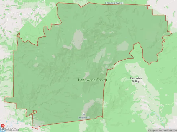
3 people live in Bald Hill, Fiordland Community, NZBald Hill Suburb Area Map (Polygon)

Bald Hill Introduction
Bald Hill is a prominent hill in Riverton/Aparima, Southland, New Zealand. It is known for its panoramic views of the surrounding area and is a popular destination for hiking and outdoor activities. The hill is also home to a historic cemetery and a military base.Region
0Suburb Name
Bald HillBald Hill Area Map (Street)

Local Authority
Southland DistrictFull Address
Bald Hill, Southland District, New ZealandAddress Type
Locality in Town Riverton/AparimaBald Hill Suburb Map (Satellite)

Country
Main Region in AU
SouthlandBald Hill Region Map

Coordinates
-45.37456,168.1557 (latitude/longitude)Distances
The distance from Bald Hill, Riverton/Aparima, Southland District to NZ Top 10 Cities