Middleton Area, Middleton Postcode(8024) & Map in Middleton
Middleton Area, Middleton Postcode(8024) & Map in Middleton, Christchurch City, New Zealand
Middleton, Christchurch City, New Zealand
Middleton Area (estimated)
1.8 square kilometersMiddleton Population (estimated)
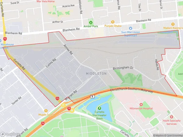
82 people live in Middleton, Spreydon-Cashmere Community, NZMiddleton Suburb Area Map (Polygon)
Middleton Introduction
Middleton is a suburb of Christchurch, New Zealand, located in the eastern suburbs of the city. It is known for its historic homes and gardens, and for being the location of the Middleton Railway Station. The suburb was named after the Earl of Middleton, who was a former Governor of New Zealand.Region
Major City
Suburb Name
MiddletonOther Name(s)
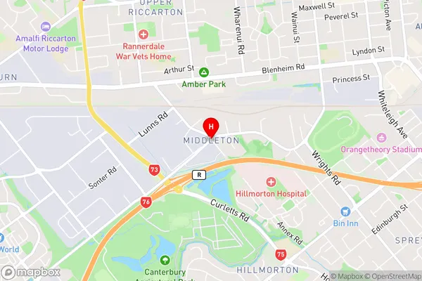
Barrington, Linden GroveMiddleton Area Map (Street)
Local Authority
Christchurch CityFull Address
Middleton, Christchurch City, New ZealandAddress Type
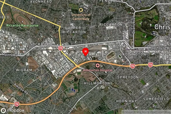
Suburb in City ChristchurchMiddleton Suburb Map (Satellite)
Country
Main Region in AU
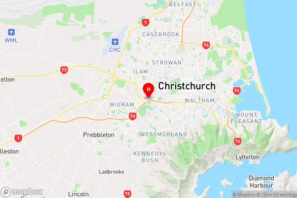
CanterburyMiddleton Region Map
Coordinates
-43.5440813,172.5832911 (latitude/longitude)Distances
The distance from Middleton, Christchurch, Christchurch City to NZ Top 10 Cities