Merivale Area, Merivale Postcode(8146) & Map in Merivale
Merivale Area, Merivale Postcode(8146) & Map in Merivale, Christchurch City, New Zealand
Merivale, Christchurch City, New Zealand
Merivale Area (estimated)
2.5 square kilometersMerivale Population (estimated)
4682 people live in Merivale, Christchurch, NZMerivale Suburb Area Map (Polygon)
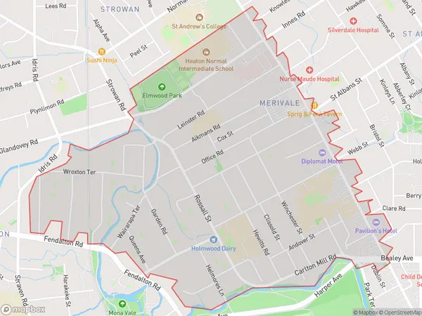
Merivale Introduction
Merivale is a suburb of Christchurch, New Zealand, located in the eastern suburbs of the city. It is known for its shopping malls, restaurants, and entertainment venues, including the Merivale Shopping Centre and the Riverside Market. The suburb has a diverse population and is home to many immigrants and students.Region
Major City
Suburb Name
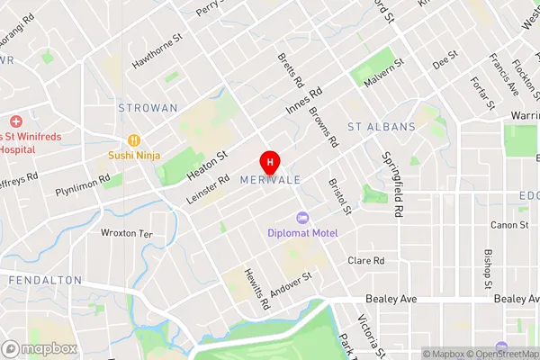
MerivaleMerivale Area Map (Street)
Local Authority
Christchurch CityFull Address
Merivale, Christchurch City, New ZealandAddress Type
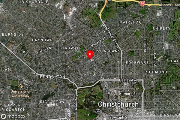
Suburb in City ChristchurchMerivale Suburb Map (Satellite)
Country
Main Region in AU
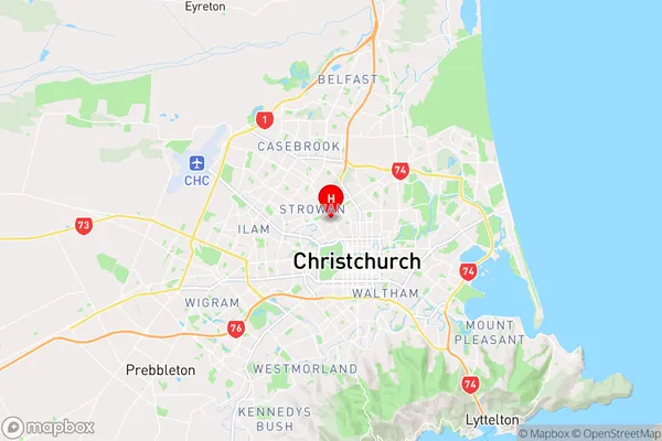
CanterburyMerivale Region Map
Coordinates
-43.5125788,172.6202653 (latitude/longitude)Distances
The distance from Merivale, Christchurch, Christchurch City to NZ Top 10 Cities