Meremere Area, Meremere Postcode(2474) & Map in Meremere
Meremere Area, Meremere Postcode(2474) & Map in Meremere, Waikato District, New Zealand
Meremere, Waikato District, New Zealand
Meremere Area (estimated)
16.8 square kilometersMeremere Population (estimated)
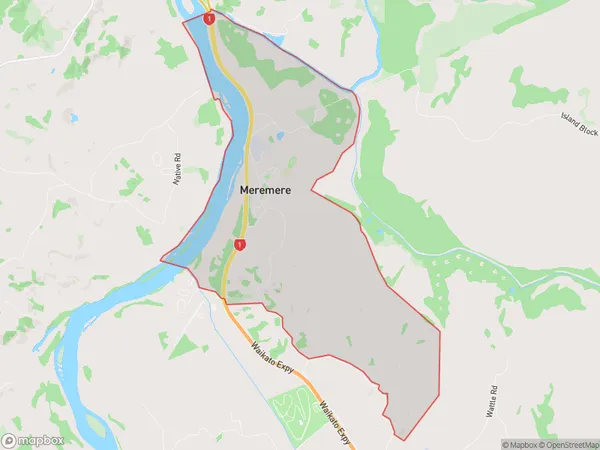
705 people live in Meremere, Waikato, NZMeremere Suburb Area Map (Polygon)
Meremere Introduction
Mercer is a small town in the Waikato region of New Zealand. It is located on State Highway 1, 20 km south of Hamilton, and 11 km north of Morrinsville. The town has a population of around 1,200 people and is known for its scenic surroundings, including the Meremere Scenic Reserve and the Meremere Dam. The area was first settled by Māori in the 13th century, and the town was established in the 1870s as a coal mining settlement. Today, Mercer is a popular tourist destination and a hub for farming and forestry.Region
Major City
Suburb Name
MeremereOther Name(s)
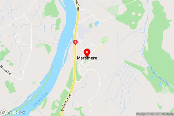
Meremere SouthMeremere Area Map (Street)
Local Authority
Waikato DistrictFull Address
Meremere, Waikato District, New ZealandAddress Type
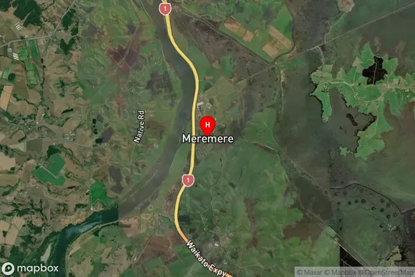
Locality in Town MercerMeremere Suburb Map (Satellite)
Country
Main Region in AU
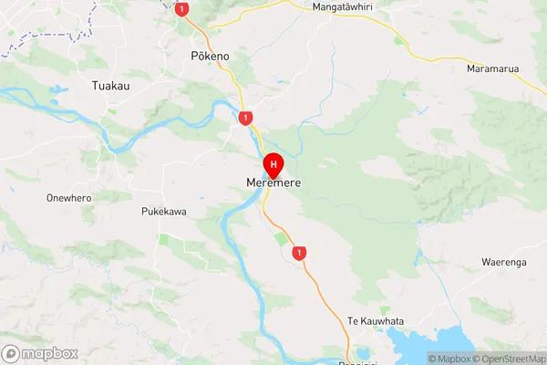
WaikatoMeremere Region Map
Coordinates
-37.3205249,175.0698963 (latitude/longitude)Distances
The distance from Meremere, Mercer, Waikato District to NZ Top 10 Cities