Menzies Ferry Area, Menzies Ferry Postcode(9831) & Map in Menzies Ferry
Menzies Ferry Area, Menzies Ferry Postcode(9831) & Map in Menzies Ferry, Southland District, New Zealand
Menzies Ferry, Southland District, New Zealand
Menzies Ferry Postcodes
Menzies Ferry Area (estimated)
18.7 square kilometersMenzies Ferry Population (estimated)
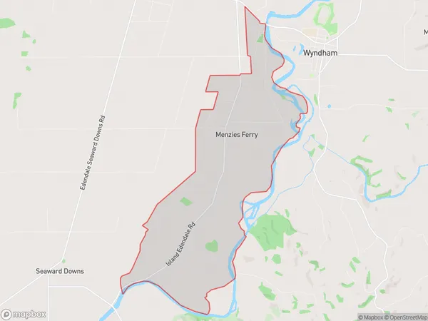
75 people live in Menzies Ferry, Waihopai Toetoe Community, NZMenzies Ferry Suburb Area Map (Polygon)
Menzies Ferry Introduction
Menzies Ferry is a small settlement on the banks of the Mataura River in Southland, New Zealand. It is located 12 kilometers north of Wyndham and is the southernmost point of the New Zealand mainland. The ferry service across the Mataura River to Wyndham was established in 1865 and is still in operation today, providing a vital link for the local community and tourists.Region
Major City
Suburb Name
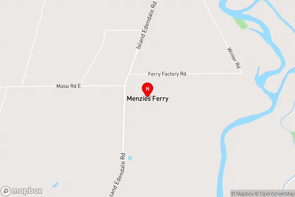
Menzies FerryMenzies Ferry Area Map (Street)
Local Authority
Southland DistrictFull Address
Menzies Ferry, Southland District, New ZealandAddress Type
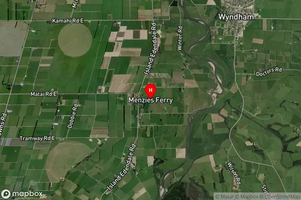
Locality in Town WyndhamMenzies Ferry Suburb Map (Satellite)
Country
Main Region in AU
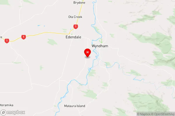
SouthlandMenzies Ferry Region Map
Coordinates
-46.34877,168.81845 (latitude/longitude)Distances
The distance from Menzies Ferry, Wyndham, Southland District to NZ Top 10 Cities