Melville Area, Melville Postcode(3206) & Map in Melville
Melville Area, Melville Postcode(3206) & Map in Melville, Hamilton City, New Zealand
Melville, Hamilton City, New Zealand
Melville Area (estimated)
3.1 square kilometersMelville Population (estimated)
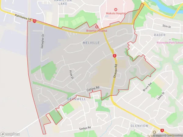
7032 people live in Melville, Hamilton, NZMelville Suburb Area Map (Polygon)
Melville Introduction
Melville is a small town in Hamilton, Waikato, New Zealand. It is located on State Highway 1, 26 km south of Hamilton City and 105 km north of Auckland City. The town has a population of around 1,500 people and is known for its historic buildings and scenic surroundings. It is also home to a popular golf course and a variety of shops and cafes.Region
Major City
Suburb Name
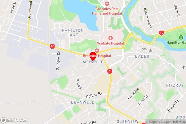
MelvilleMelville Area Map (Street)
Local Authority
Hamilton CityFull Address
Melville, Hamilton City, New ZealandAddress Type
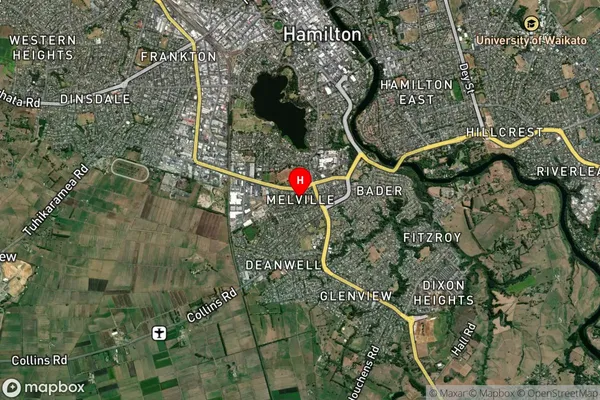
Suburb in City HamiltonMelville Suburb Map (Satellite)
Country
Main Region in AU
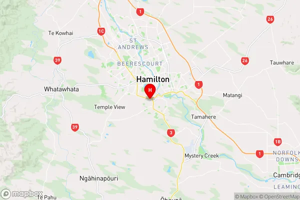
WaikatoMelville Region Map
Coordinates
-37.8103816,175.277996 (latitude/longitude)Distances
The distance from Melville, Hamilton, Hamilton City to NZ Top 10 Cities