McLeans Island Area, McLeans Island Postcode(8051) & Map in McLeans Island
McLeans Island Area, McLeans Island Postcode(8051) & Map in McLeans Island, Christchurch City, New Zealand
McLeans Island, Christchurch City, New Zealand
McLeans Island Area (estimated)
66.6 square kilometersMcLeans Island Population (estimated)
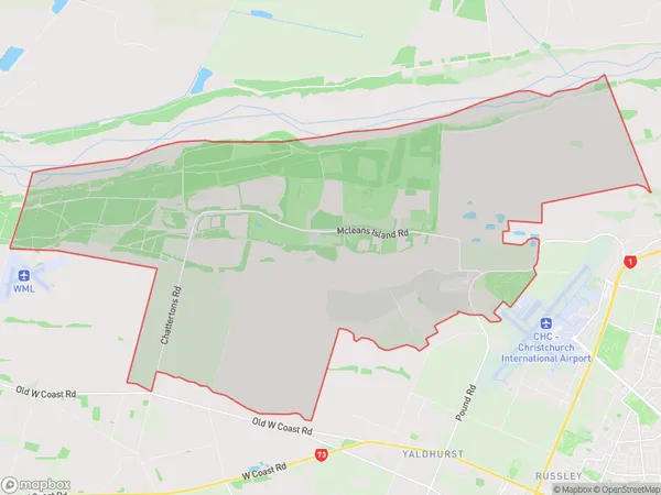
82 people live in McLeans Island, Christchurch, NZMcLeans Island Suburb Area Map (Polygon)
McLeans Island Introduction
McLean's Island is a small island in the Avon River in Christchurch, New Zealand. It is home to a large colony of rare birds, including the little blue penguin. The island is accessible by a bridge and is a popular tourist destination.Region
Major City
Suburb Name
McLeans IslandOther Name(s)
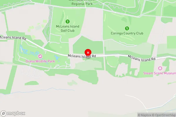
Templers IslandsMcLeans Island Area Map (Street)
Local Authority
Christchurch CityFull Address
McLeans Island, Christchurch City, New ZealandAddress Type
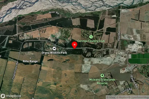
Suburb in City ChristchurchMcLeans Island Suburb Map (Satellite)
Country
Main Region in AU
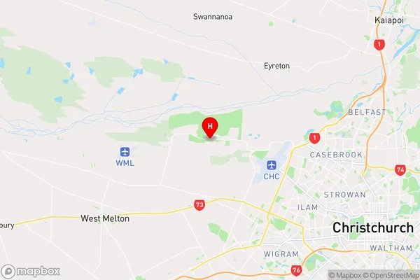
CanterburyMcLeans Island Region Map
Coordinates
-43.4685835,172.4764466 (latitude/longitude)Distances
The distance from McLeans Island, Christchurch, Christchurch City to NZ Top 10 Cities