Mayfield Area, Mayfield Postcode(7301) & Map in Mayfield
Mayfield Area, Mayfield Postcode(7301) & Map in Mayfield, Marlborough District, New Zealand
Mayfield, Marlborough District, New Zealand
Mayfield Area (estimated)
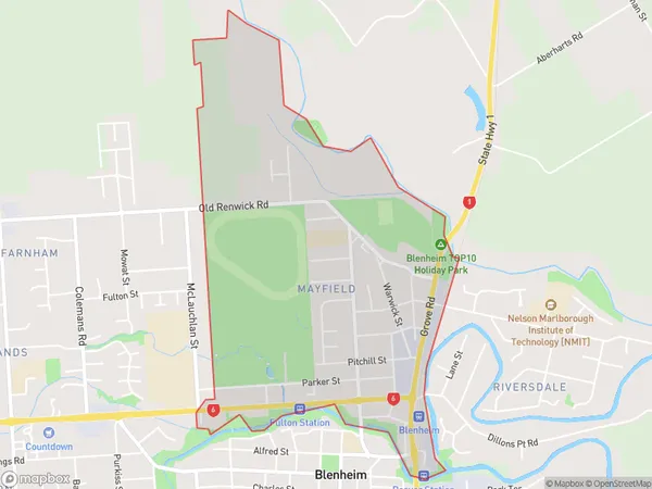
2.7 square kilometersMayfield Population (estimated)
1942 people live in Mayfield, Marlborough, NZMayfield Suburb Area Map (Polygon)
Mayfield Introduction
Mayfield is a small rural town in the Blenheim region of Marlborough, New Zealand. It is known for its picturesque rural setting, historic buildings, and popular wine-growing industry. The town has a population of around 1,200 people and is located on the banks of the Marlborough River.Region
Major City
Suburb Name
MayfieldOther Name(s)
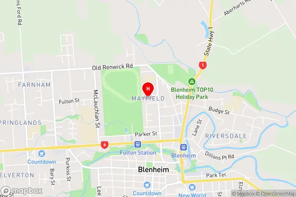
Blenheim CentralMayfield Area Map (Street)
Local Authority
Marlborough DistrictFull Address
Mayfield, Marlborough District, New ZealandAddress Type
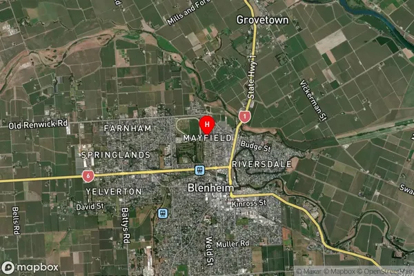
Suburb in Town BlenheimMayfield Suburb Map (Satellite)
Country
Main Region in AU
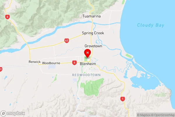
MarlboroughMayfield Region Map
Coordinates
-41.5025971,173.9536303 (latitude/longitude)Distances
The distance from Mayfield, Blenheim, Marlborough District to NZ Top 10 Cities