Mayfair Area, Mayfair Postcode(4122) & Map in Mayfair
Mayfair Area, Mayfair Postcode(4122) & Map in Mayfair, Hastings District, New Zealand
Mayfair, Hastings District, New Zealand
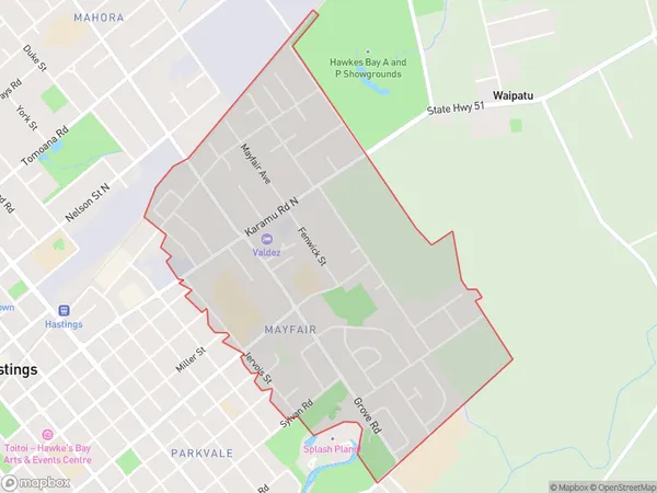
Mayfair Area (estimated)
2.6 square kilometersMayfair Population (estimated)
5284 people live in Mayfair, Hastings, NZMayfair Suburb Area Map (Polygon)
Mayfair Introduction
Mayfair is a small rural town in the Hawke's Bay region of New Zealand. It is located on State Highway 2, approximately 30 kilometers southeast of Hastings. The town was established in the 1870s and has a population of around 200 people. Mayfair is known for its historic buildings, including the Mayfair Hotel, which was built in 1878. The town also has a primary school and a community hall.Region
Major City
Suburb Name
MayfairOther Name(s)
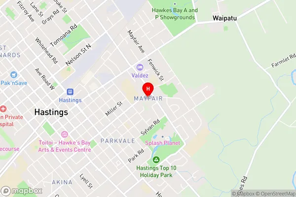
Hastings CentralMayfair Area Map (Street)
Local Authority
Hastings DistrictFull Address
Mayfair, Hastings District, New ZealandAddress Type
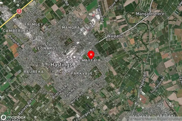
Suburb in City HastingsMayfair Suburb Map (Satellite)
Country
Main Region in AU
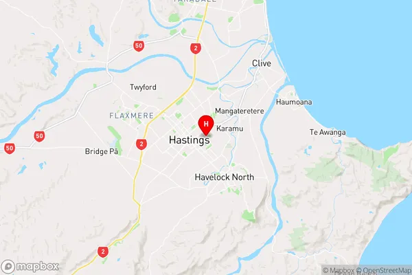
Hawke's BayMayfair Region Map
Coordinates
-39.6399474,176.8599667 (latitude/longitude)Distances
The distance from Mayfair, Hastings, Hastings District to NZ Top 10 Cities