Hukerenui Forest Area, Hukerenui Forest Postcode & Map in Hukerenui Forest
Hukerenui Forest Area, Hukerenui Forest Postcode & Map in Hukerenui Forest, Far North District,
Hukerenui Forest, Far North District,
Hukerenui Forest Area (estimated)
4.9 square kilometersHukerenui Forest Population (estimated)
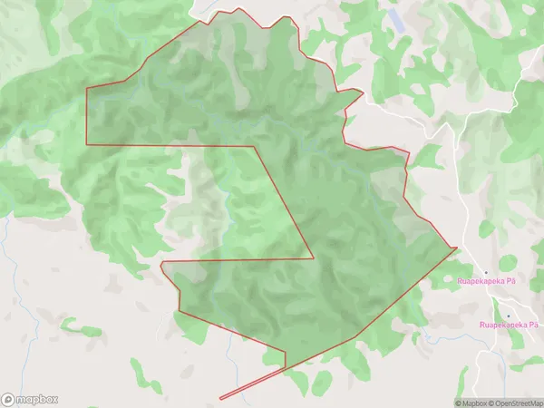
0 people live in Hukerenui Forest, , NZHukerenui Forest Suburb Area Map (Polygon)
Hukerenui Forest Introduction
Hukerenui Forest is a forest located in Northland Conservation Park in New Zealand. It is known for its diverse range of plant and animal species, including kauri trees, native birds, and reptiles. The forest is also home to a significant population of North Island brown kiwi, a critically endangered species. The forest has been designated as a "Special Area" under the New Zealand Wildlife Act 1953, and efforts are being made to protect and manage it for the future.00Suburb Name
Hukerenui ForestHukerenui Forest Area Map (Street)
Local Authority
Far North DistrictFull Address
Hukerenui Forest, Far North District,Address Type
Conservation Land in Major Locality Northland Conservation ParkHukerenui Forest Suburb Map (Satellite)
Country
Main Region in AU
Hukerenui Forest Region Map
Coordinates
0,0 (latitude/longitude)Distances
The distance from Hukerenui Forest, Northland Conservation Park, Far North District to NZ Top 10 Cities