Mangatuna Area, Mangatuna Postcode(4010) & Map in Mangatuna
Mangatuna Area, Mangatuna Postcode(4010) & Map in Mangatuna, Gisborne District, New Zealand
Mangatuna, Gisborne District, New Zealand
Mangatuna Postcodes
Mangatuna Area (estimated)
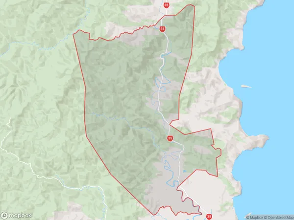
156.5 square kilometersMangatuna Population (estimated)
93 people live in Mangatuna, Gisborne, NZMangatuna Suburb Area Map (Polygon)
Mangatuna Introduction
Mangatuna is a small coastal village located in the Gisborne region of New Zealand. It is known for its beautiful beaches, crystal-clear waters, and stunning natural scenery. The village has a population of around 100 people and is a popular destination for tourists and locals alike. The area is also home to a variety of wildlife, including dolphins, whales, and seals. Mangatuna is a peaceful and tranquil place to relax and enjoy the natural beauty of New Zealand.Region
0Suburb Name
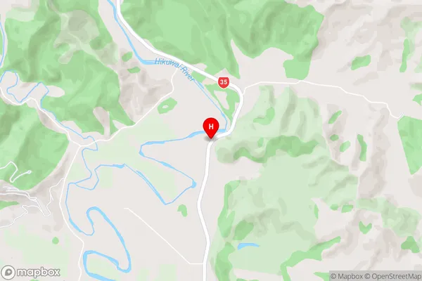
MangatunaMangatuna Area Map (Street)
Local Authority
Gisborne DistrictFull Address
Mangatuna, Gisborne District, New ZealandAddress Type
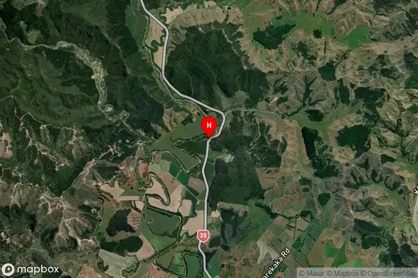
Locality in Major Locality MangatunaMangatuna Suburb Map (Satellite)
Country
Main Region in AU
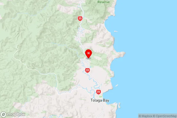
GisborneMangatuna Region Map
Coordinates
-38.2991639,178.2728247 (latitude/longitude)Distances
The distance from Mangatuna, Mangatuna, Gisborne District to NZ Top 10 Cities