Hillpark Area, Hillpark Postcode(2102) & Map in Hillpark
Hillpark Area, Hillpark Postcode(2102) & Map in Hillpark, Auckland, New Zealand
Hillpark, Auckland, New Zealand
Hillpark Postcodes
Hillpark Area (estimated)
1.9 square kilometersHillpark Population (estimated)
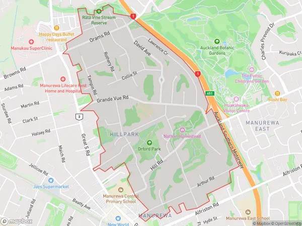
6004 people live in Hillpark, Manurewa, NZHillpark Suburb Area Map (Polygon)
Hillpark Introduction
Hillpark is a residential suburb in Auckland, New Zealand, located in the Eastern Suburbs. It is known for its peaceful atmosphere, tree-lined streets, and well-maintained homes. The suburb is surrounded by parks and recreational facilities, including Hillpark Reserve, which offers a variety of sports and leisure activities. Hillpark is also home to a large number of medical and educational institutions, including Auckland City Hospital and the University of Auckland.Region
Major City
Suburb Name
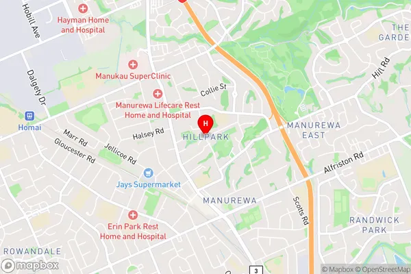
HillparkHillpark Area Map (Street)
Local Authority
AucklandFull Address
Hillpark, Auckland, New ZealandAddress Type
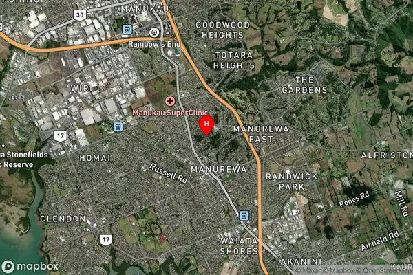
Suburb in City AucklandHillpark Suburb Map (Satellite)
Country
Main Region in AU
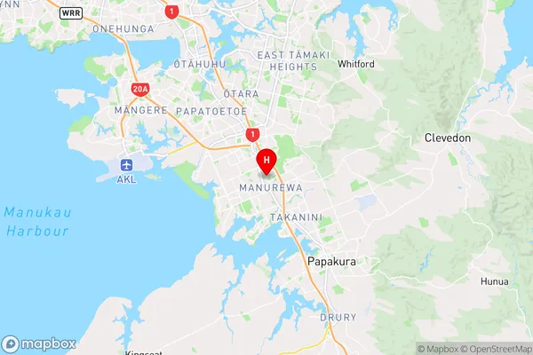
AucklandHillpark Region Map
Coordinates
-37.015591,174.8967367 (latitude/longitude)Distances
The distance from Hillpark, Auckland, Auckland to NZ Top 10 Cities