Kuku Area, Kuku Postcode(5570) & Map in Kuku
Kuku Area, Kuku Postcode(5570) & Map in Kuku, Horowhenua District, New Zealand
Kuku, Horowhenua District, New Zealand
Kuku Postcodes
Kuku Area (estimated)
32.3 square kilometersKuku Population (estimated)
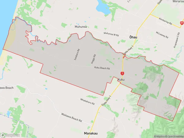
329 people live in Kuku, Manawatu-Wanganui, NZKuku Suburb Area Map (Polygon)
Kuku Introduction
Kuku, Kuku, Manawatu-Wanganui, New Zealand, is a small rural town located in the central North Island. It is known for its scenic countryside, historic buildings, and traditional Maori culture. The town has a population of around 1,000 people and is surrounded by farmland and forests. Kuku, Kuku is also home to a popular golf course and a variety of outdoor activities such as hiking, cycling, and fishing.Region
0Suburb Name
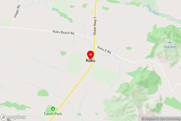
KukuKuku Area Map (Street)
Local Authority
Horowhenua DistrictFull Address
Kuku, Horowhenua District, New ZealandAddress Type
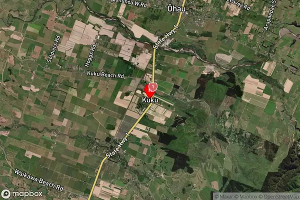
Locality in Major Locality KukuKuku Suburb Map (Satellite)
Country
Main Region in AU
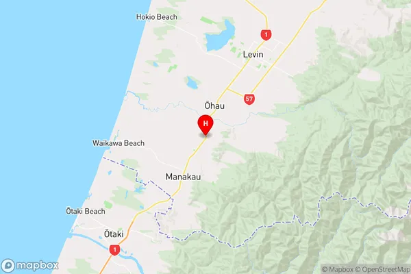
Manawatu-WanganuiKuku Region Map
Coordinates
-40.6847376,175.2389073 (latitude/longitude)Distances
The distance from Kuku, Kuku, Horowhenua District to NZ Top 10 Cities