Millerton Area, Millerton Postcode & Map in Millerton
Millerton Area, Millerton Postcode & Map in Millerton, Buller District, New Zealand
Millerton, Buller District, New Zealand
Millerton Area (estimated)
2.8 square kilometersMillerton Population (estimated)
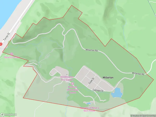
45 people live in Millerton, West Coast, NZMillerton Suburb Area Map (Polygon)
Millerton Introduction
Millerton is a small rural West Coast town in New Zealand. It is located on State Highway 6, 12 km south of Westport and 160 km north of Christchurch. The town was founded in 1865 and named after the mill that was built there by the local settler John Millerton. The population of Millerton is around 400 people, and the town has a primary school, a post office, a supermarket, and a variety of other businesses and services. The surrounding area is known for its scenic beauty, including the Karamea Mountains and the Blackball Cave.Region
Major City
Suburb Name
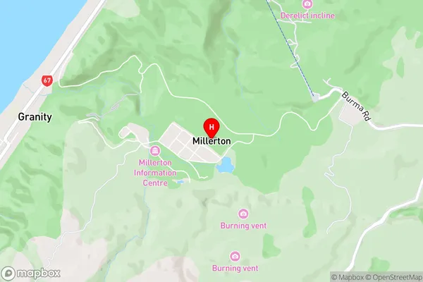
MillertonMillerton Area Map (Street)
Local Authority
Buller DistrictFull Address
Millerton, Buller District, New ZealandAddress Type
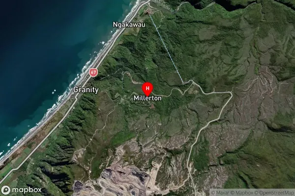
Locality in Town WestportMillerton Suburb Map (Satellite)
Country
Main Region in AU
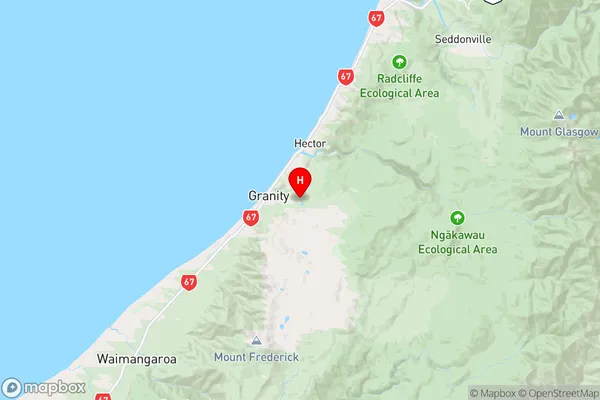
West CoastMillerton Region Map
Coordinates
-41.6323727,171.8764681 (latitude/longitude)Distances
The distance from Millerton, Westport, Buller District to NZ Top 10 Cities