Aidanfield Area, Aidanfield Postcode(8025) & Map in Aidanfield
Aidanfield Area, Aidanfield Postcode(8025) & Map in Aidanfield, Christchurch City, New Zealand
Aidanfield, Christchurch City, New Zealand
Aidanfield Postcodes
Aidanfield Area (estimated)
1.8 square kilometersAidanfield Population (estimated)
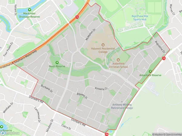
3829 people live in Aidanfield, Halswell-Hornby-Riccarton Community, NZAidanfield Suburb Area Map (Polygon)
Aidanfield Introduction
Aidanfield is a suburb of Christchurch, New Zealand, located in the Eastern suburbs of the city. It is known for its historic homes and gardens, and for being the birthplace of the famous All Blacks rugby team. The suburb has a strong sense of community and is home to a variety of shops, restaurants, and recreational facilities.Region
Major City
Suburb Name
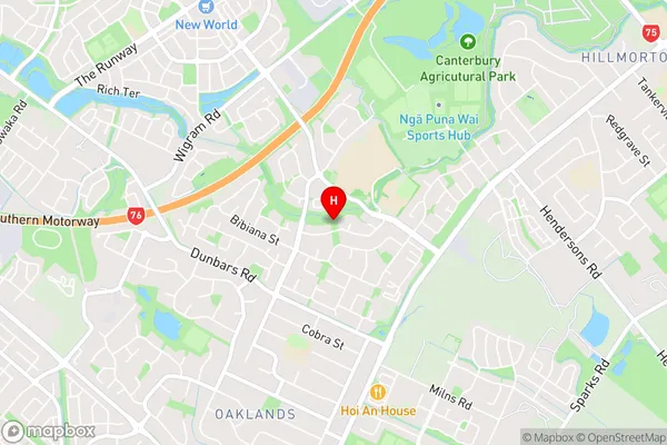
AidanfieldAidanfield Area Map (Street)
Local Authority
Christchurch CityFull Address
Aidanfield, Christchurch City, New ZealandAddress Type
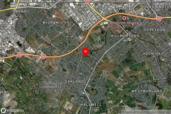
Suburb in City ChristchurchAidanfield Suburb Map (Satellite)
Country
Main Region in AU
CanterburyAidanfield Region Map
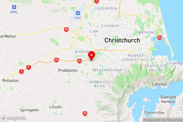
Coordinates
-43.5647866,172.5672967 (latitude/longitude)Distances
The distance from Aidanfield, Christchurch, Christchurch City to NZ Top 10 Cities