Fairdown Area, Fairdown Postcode & Map in Fairdown
Fairdown Area, Fairdown Postcode & Map in Fairdown, Buller District, New Zealand
Fairdown, Buller District, New Zealand
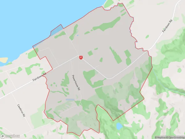
Fairdown Area (estimated)
21.7 square kilometersFairdown Population (estimated)
193 people live in Fairdown, West Coast, NZFairdown Suburb Area Map (Polygon)
Fairdown Introduction
Fairdown is a small rural community on the West Coast of New Zealand's South Island. It is located in the Grey District and is known for its scenic surroundings, including the Fairdown Forest Park. The community has a primary school, a post office, and a small supermarket. Fairdown is a popular destination for outdoor enthusiasts, with many hiking and cycling trails nearby.Region
Major City
Suburb Name
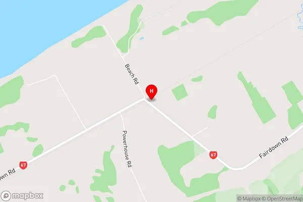
FairdownFairdown Area Map (Street)
Local Authority
Buller DistrictFull Address
Fairdown, Buller District, New ZealandAddress Type
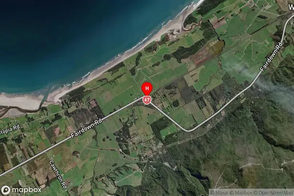
Locality in Town WestportFairdown Suburb Map (Satellite)
Country
Main Region in AU
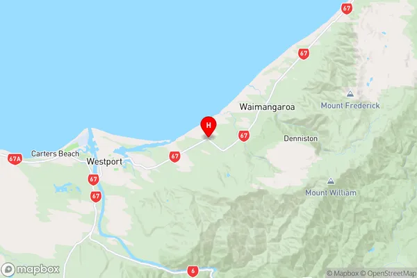
West CoastFairdown Region Map
Coordinates
-41.7376156,171.7063737 (latitude/longitude)Distances
The distance from Fairdown, Westport, Buller District to NZ Top 10 Cities