Cronadun Area, Cronadun Postcode & Map in Cronadun
Cronadun Area, Cronadun Postcode & Map in Cronadun, Buller District, New Zealand
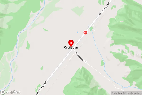
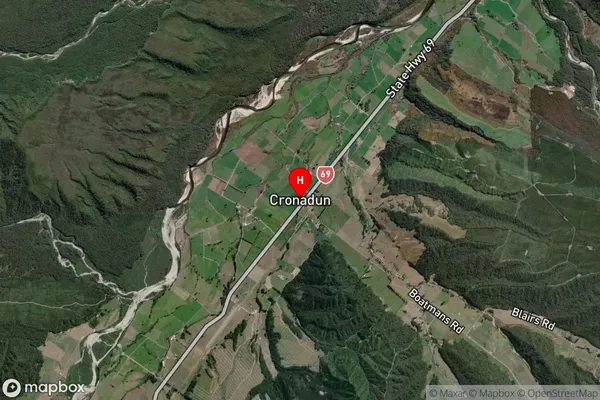
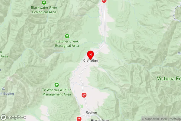
Cronadun, Buller District, New Zealand
Cronadun Area (estimated)
-1.2 square kilometersCronadun Population (estimated)
80 people live in Cronadun, West Coast, NZCronadun Suburb Area Map (Polygon)
Not available for nowCronadun Introduction
Cronadun is a small rural community located in the Reefton district of the West Coast region of New Zealand. It is situated on the banks of the Grey River and is known for its scenic surroundings and historic mining heritage. The community has a population of around 50 people and is home to a primary school, a church, and a small convenience store.Region
Major City
Suburb Name
CronadunOther Name(s)
Capleston, Larrys CreekCronadun Area Map (Street)
Local Authority
Buller DistrictFull Address
Cronadun, Buller District, New ZealandAddress Type
Locality in Town ReeftonCronadun Suburb Map (Satellite)
Country
Main Region in AU
West CoastCronadun Region Map
Coordinates
-42.0283041,171.8617272 (latitude/longitude)Distances
The distance from Cronadun, Reefton, Buller District to NZ Top 10 Cities