Blacks Point Area, Blacks Point Postcode(7830) & Map in Blacks Point
Blacks Point Area, Blacks Point Postcode(7830) & Map in Blacks Point, Buller District, New Zealand
Blacks Point, Buller District, New Zealand
Blacks Point Postcodes
Blacks Point Area (estimated)
0.4 square kilometersBlacks Point Population (estimated)
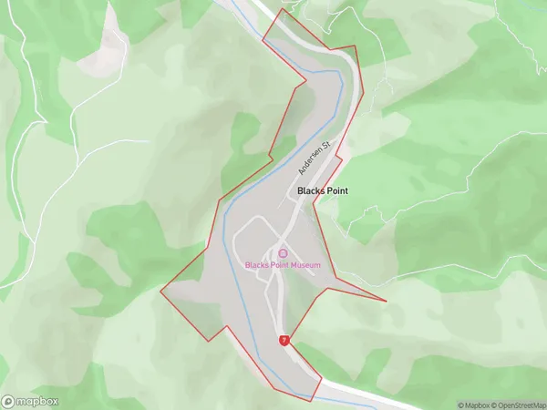
64 people live in Blacks Point, West Coast, NZBlacks Point Suburb Area Map (Polygon)
Blacks Point Introduction
Blacks Point is a small community on the West Coast of New Zealand's South Island. It is located at the mouth of the Grey River and is known for its stunning natural scenery, including rugged cliffs, dense forests, and pristine beaches. The area has a rich history and was once a major mining center for gold and silver. Today, it is a popular tourist destination and home to a small community of residents.Region
Major City
Suburb Name
Blacks PointOther Name(s)
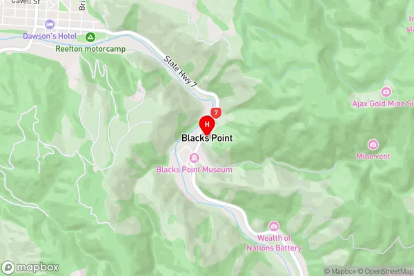
Blacks PtBlacks Point Area Map (Street)
Local Authority
Buller DistrictFull Address
Blacks Point, Buller District, New ZealandAddress Type
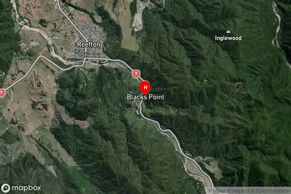
Locality in Town ReeftonBlacks Point Suburb Map (Satellite)
Country
Main Region in AU
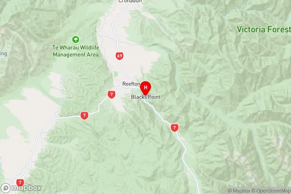
West CoastBlacks Point Region Map
Coordinates
-42.1297629,171.8836141 (latitude/longitude)Distances
The distance from Blacks Point, Reefton, Buller District to NZ Top 10 Cities