Motutara Island Area, Motutara Island Postcode(0622) & Map in Motutara Island
Motutara Island Area, Motutara Island Postcode(0622) & Map in Motutara Island, Auckland, New Zealand
Motutara Island, Auckland, New Zealand
Motutara Island Postcodes
Motutara Island Area (estimated)
0.1 square kilometersMotutara Island Population (estimated)
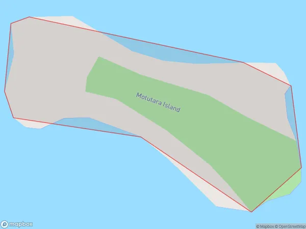
0 people live in Motutara Island, Rodney, NZMotutara Island Suburb Area Map (Polygon)
Motutara Island Introduction
Motutara Island is a small, uninhabited island located in the Hauraki Gulf of New Zealand. It is known for its stunning natural beauty, including lush forests, white-sand beaches, and crystal-clear waters. The island is a popular destination for outdoor activities such as hiking, kayaking, and snorkeling, and is also home to a variety of bird species. Motutara Island is accessible by ferry from Auckland and is a protected nature reserve, ensuring its preservation for future generations.Region
Major City
Suburb Name
Motutara IslandOther Name(s)
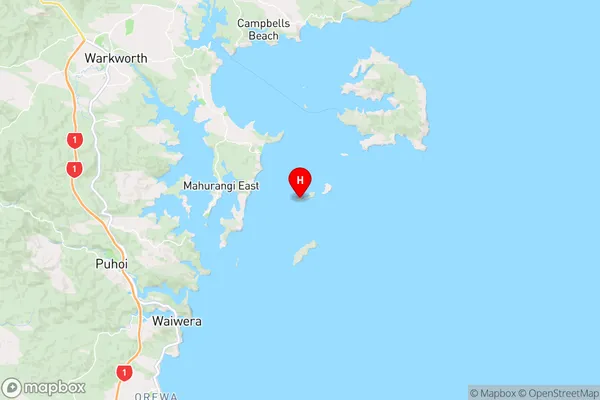
Hauraki GulfMotutara Island Area Map (Street)
Local Authority
AucklandFull Address
Motutara Island, Auckland, New ZealandAddress Type
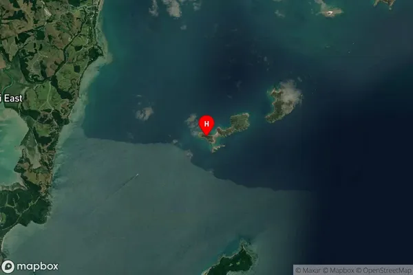
IslandMotutara Island Suburb Map (Satellite)
Country
Main Region in AU
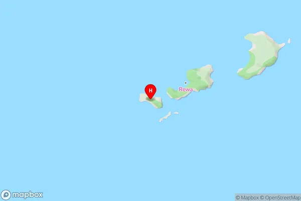
AucklandMotutara Island Region Map
Coordinates
-36.4768265,174.790541978248 (latitude/longitude)Distances
The distance from Motutara Island, , Auckland to NZ Top 10 Cities