Hongoeka Area, Hongoeka Postcode(5022) & Map in Hongoeka
Hongoeka Area, Hongoeka Postcode(5022) & Map in Hongoeka, Porirua City, New Zealand
Hongoeka, Porirua City, New Zealand
Hongoeka Postcodes
Hongoeka Area (estimated)
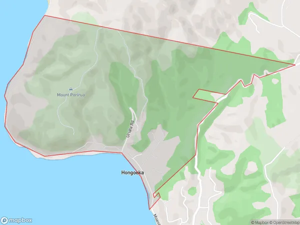
2.4 square kilometersHongoeka Population (estimated)
106 people live in Hongoeka, Porirua, NZHongoeka Suburb Area Map (Polygon)
Hongoeka Introduction
Hongoeka is a small suburb in Porirua, Wellington, New Zealand. It is known for its rural atmosphere, scenic views, and close proximity to the city. The area has a variety of housing options, including single-family homes, apartments, and townhouses. There are several parks and recreational facilities in the suburb, including a golf course, a community center, and a sports field. Hongoeka is also home to a number of businesses and industries, including a supermarket, a pharmacy, and a medical center.Region
Major City
Suburb Name
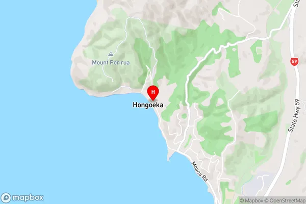
HongoekaHongoeka Area Map (Street)
Local Authority
Porirua CityFull Address
Hongoeka, Porirua City, New ZealandAddress Type
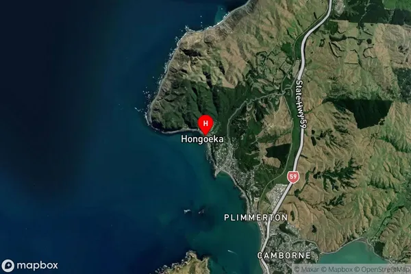
Suburb in City PoriruaHongoeka Suburb Map (Satellite)
Country
Main Region in AU
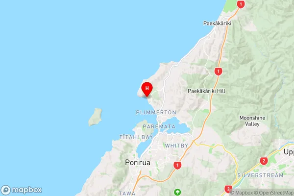
WellingtonHongoeka Region Map
Coordinates
-41.067321,174.8529463 (latitude/longitude)Distances
The distance from Hongoeka, Porirua, Porirua City to NZ Top 10 Cities