Scarborough Area, Scarborough Postcode(8081) & Map in Scarborough
Scarborough Area, Scarborough Postcode(8081) & Map in Scarborough, Christchurch City, New Zealand
Scarborough, Christchurch City, New Zealand
Scarborough Area (estimated)
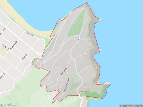
0.8 square kilometersScarborough Population (estimated)
647 people live in Scarborough, Linwood-Central-Heathcote Community, NZScarborough Suburb Area Map (Polygon)
Scarborough Introduction
Scarborough is a suburb of Christchurch, New Zealand, located on the coast of the Pacific Ocean. It is known for its beaches, parks, and recreational facilities, and is a popular destination for tourists and locals alike. The suburb has a population of around 20,000 people and is located approximately 10 kilometers from the city center of Christchurch.Region
Major City
Suburb Name
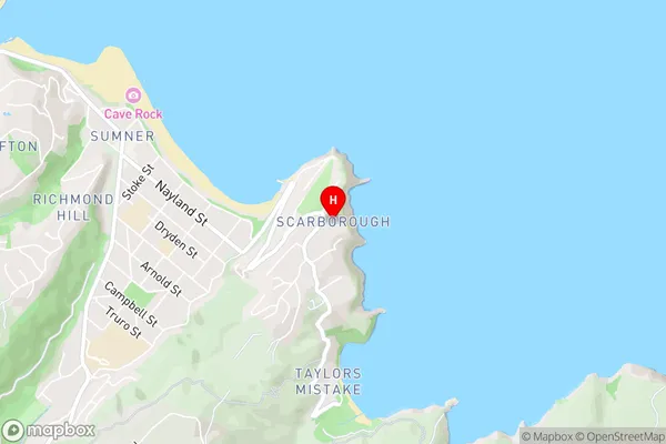
ScarboroughScarborough Area Map (Street)
Local Authority
Christchurch CityFull Address
Scarborough, Christchurch City, New ZealandAddress Type
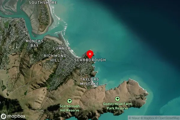
Suburb in City ChristchurchScarborough Suburb Map (Satellite)
Country
Main Region in AU
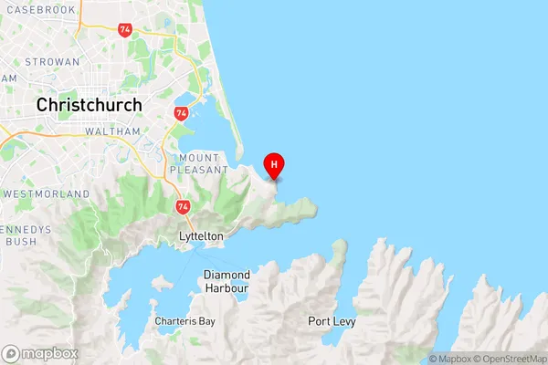
CanterburyScarborough Region Map
Coordinates
-43.573286,172.775377 (latitude/longitude)Distances
The distance from Scarborough, Christchurch, Christchurch City to NZ Top 10 Cities