Te Onepoto / Taylors Mistake Area, Te Onepoto / Taylors Mistake Postcode(8081) & Map in Te Onepoto / Taylors Mistake
Te Onepoto / Taylors Mistake Area, Te Onepoto / Taylors Mistake Postcode(8081) & Map in Te Onepoto / Taylors Mistake, Christchurch City, New Zealand
Te Onepoto / Taylors Mistake, Christchurch City, New Zealand
Te Onepoto / Taylors Mistake Postcodes
Te Onepoto / Taylors Mistake Area (estimated)
0.2 square kilometersTe Onepoto / Taylors Mistake Population (estimated)
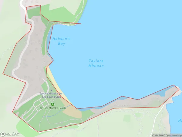
117 people live in Te Onepoto / Taylors Mistake, Linwood-Central-Heathcote Community, NZTe Onepoto / Taylors Mistake Suburb Area Map (Polygon)
Te Onepoto / Taylors Mistake Introduction
Te Onepoto / Taylors Mistake is a coastal reserve and beach located in Christchurch, New Zealand. It is known for its stunning natural beauty, including rugged cliffs, golden sands, and crystal-clear waters. The reserve offers a range of outdoor activities, such as hiking, surfing, and fishing, and is a popular spot for picnics and barbecues. It is also home to a variety of wildlife, including seals, penguins, and bird species.Region
Major City
Suburb Name
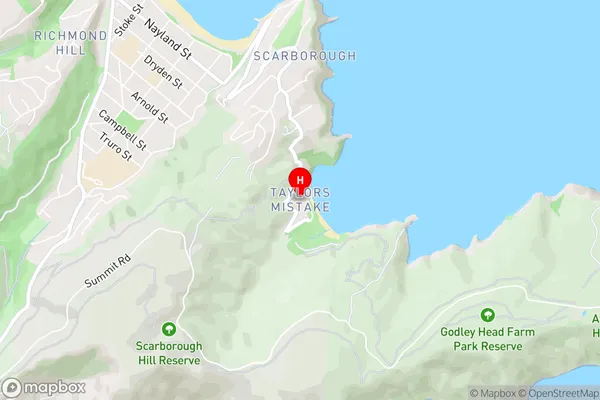
Te Onepoto / Taylors MistakeTe Onepoto / Taylors Mistake Area Map (Street)
Local Authority
Christchurch CityFull Address
Te Onepoto / Taylors Mistake, Christchurch City, New ZealandAddress Type
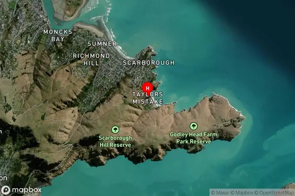
Suburb in City ChristchurchTe Onepoto / Taylors Mistake Suburb Map (Satellite)
Country
Main Region in AU
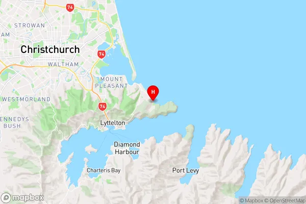
CanterburyTe Onepoto / Taylors Mistake Region Map
Coordinates
-43.5822353,172.7749856 (latitude/longitude)Distances
The distance from Te Onepoto / Taylors Mistake, Christchurch, Christchurch City to NZ Top 10 Cities