Waimapu Estuary Area, Waimapu Estuary Postcode(3112) & Map in Waimapu Estuary
Waimapu Estuary Area, Waimapu Estuary Postcode(3112) & Map in Waimapu Estuary, Tauranga City, New Zealand
Waimapu Estuary, Tauranga City, New Zealand
Waimapu Estuary Postcodes
Waimapu Estuary Area (estimated)
2.0 square kilometersWaimapu Estuary Population (estimated)
0 people live in Waimapu Estuary, Tauranga, NZWaimapu Estuary Suburb Area Map (Polygon)
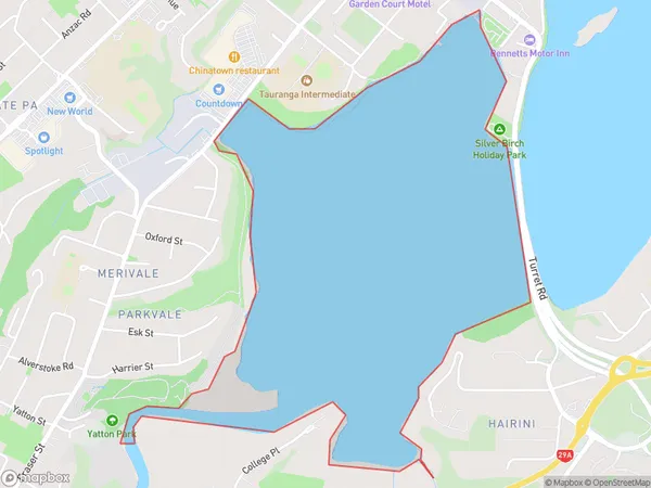
Waimapu Estuary Introduction
Waimapu Estuary is a large, shallow, and sheltered estuary in the Bay of Plenty, New Zealand. It is home to a diverse range of wildlife, including birds, fish, and marine mammals. The estuary is also a popular spot for recreational activities such as fishing, boating, and swimming. The Waimapu Estuary is an important ecological and cultural resource for the region and is protected under the New Zealand Historic Places Trust.Region
Major City
Suburb Name
Waimapu EstuaryOther Name(s)
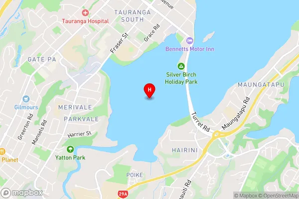
Tauranga HarbourWaimapu Estuary Area Map (Street)
Local Authority
Tauranga CityFull Address
Waimapu Estuary, Tauranga City, New ZealandAddress Type
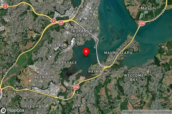
Coastal BayWaimapu Estuary Suburb Map (Satellite)
Country
Main Region in AU
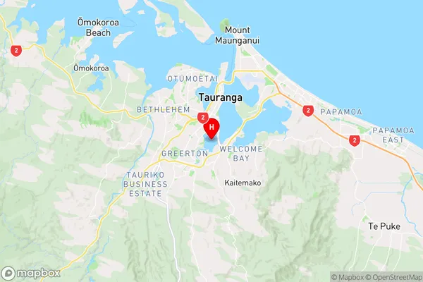
Bay of PlentyWaimapu Estuary Region Map
Coordinates
-37.7196304,176.1588399 (latitude/longitude)Distances
The distance from Waimapu Estuary, , Tauranga City to NZ Top 10 Cities