Woolshed Bay Area, Woolshed Bay Postcode(3500) & Map in Woolshed Bay
Woolshed Bay Area, Woolshed Bay Postcode(3500) & Map in Woolshed Bay, Thames-Coromandel District, New Zealand
Woolshed Bay, Thames-Coromandel District, New Zealand
Woolshed Bay Postcodes
Woolshed Bay Area (estimated)
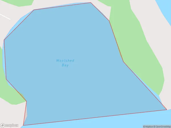
0.2 square kilometersWoolshed Bay Population (estimated)
0 people live in Woolshed Bay, Waikato, NZWoolshed Bay Suburb Area Map (Polygon)
Woolshed Bay Introduction
Woolshed Bay is a small bay located on the western coast of the North Island of New Zealand, in the Waikato region. It is known for its stunning natural beauty, with crystal-clear waters, rugged cliffs, and lush green vegetation. The bay is a popular spot for swimming, kayaking, and fishing, and it is also home to a small community of residents.Region
Suburb Name
Woolshed BayOther Name(s)
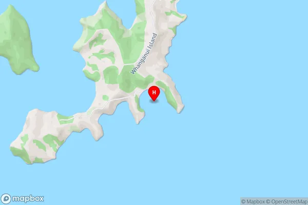
Hauraki GulfWoolshed Bay Area Map (Street)
Local Authority
Thames-Coromandel DistrictFull Address
Woolshed Bay, Thames-Coromandel District, New ZealandAddress Type
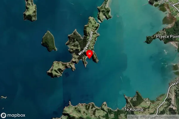
Coastal BayWoolshed Bay Suburb Map (Satellite)
Country
Main Region in AU
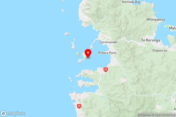
WaikatoWoolshed Bay Region Map
Coordinates
-36.7879408,175.4523449 (latitude/longitude)Distances
The distance from Woolshed Bay, , Thames-Coromandel District to NZ Top 10 Cities