Motutapu Island Area, Motutapu Island Postcode & Map in Motutapu Island
Motutapu Island Area, Motutapu Island Postcode & Map in Motutapu Island, Far North District, New Zealand
Motutapu Island, Far North District, New Zealand
Motutapu Island Area (estimated)
0.0 square kilometersMotutapu Island Population (estimated)
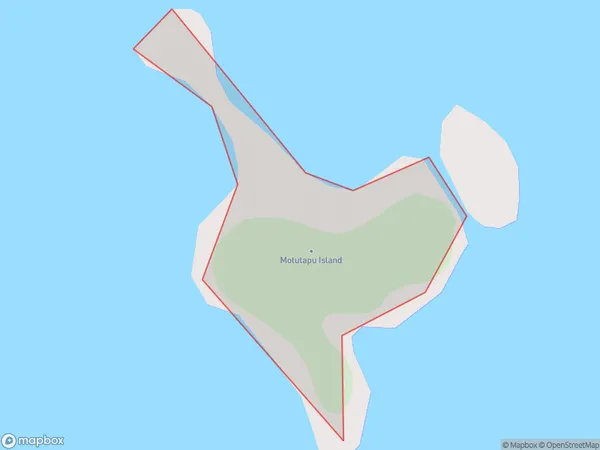
0 people live in Motutapu Island, Bay of Islands-Whangaroa Community, NZMotutapu Island Suburb Area Map (Polygon)
Motutapu Island Introduction
Motutapu Island is a volcanic island in the Hauraki Gulf, Northland, New Zealand. It is known for its stunning landscapes, including Mt. Motutapu, the island's highest peak. The island is a popular destination for hiking, camping, and wildlife viewing. It is also home to a significant Māori cultural heritage and is considered sacred by the local community.Region
Major City
Suburb Name
Motutapu IslandOther Name(s)
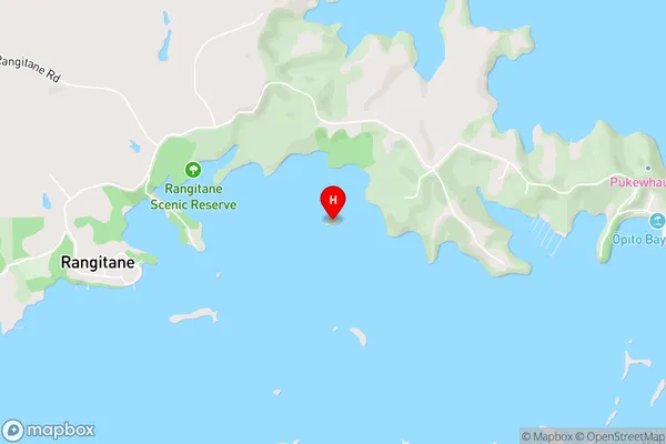
Moturoa Islands, Green IslandMotutapu Island Area Map (Street)
Local Authority
Far North DistrictFull Address
Motutapu Island, Far North District, New ZealandAddress Type
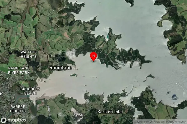
IslandMotutapu Island Suburb Map (Satellite)
Country
Main Region in AU
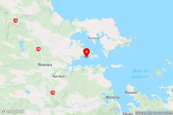
NorthlandMotutapu Island Region Map
Coordinates
-35.1930352,174.017926831673 (latitude/longitude)Distances
The distance from Motutapu Island, , Far North District to NZ Top 10 Cities