Spencerville Area, Spencerville Postcode(8011) & Map in Spencerville
Spencerville Area, Spencerville Postcode(8011) & Map in Spencerville, Christchurch City, New Zealand
Spencerville, Christchurch City, New Zealand
Spencerville Postcodes
Spencerville Area (estimated)
3.4 square kilometersSpencerville Population (estimated)
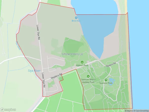
648 people live in Spencerville, Coastal-Burwood Community, NZSpencerville Suburb Area Map (Polygon)
Spencerville Introduction
Spencerville is a suburb of Christchurch, New Zealand, located in the eastern suburbs of the city. It is known for its historic homes and gardens, and for being the location of the Spencerville Racecourse. The suburb was named after the Spencerville family, who were early settlers in the area.Region
Major City
Suburb Name
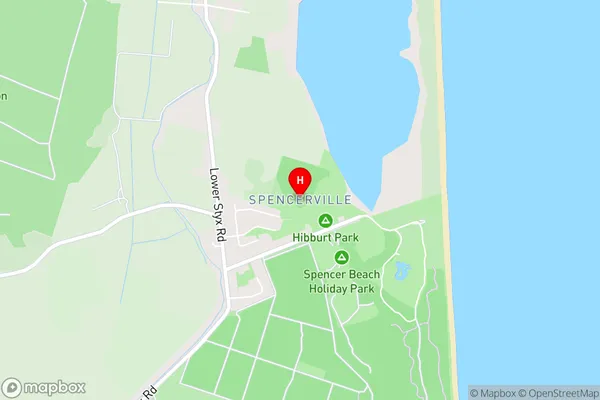
SpencervilleSpencerville Area Map (Street)
Local Authority
Christchurch CityFull Address
Spencerville, Christchurch City, New ZealandAddress Type
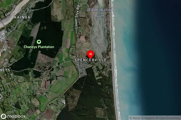
Suburb in City ChristchurchSpencerville Suburb Map (Satellite)
Country
Main Region in AU
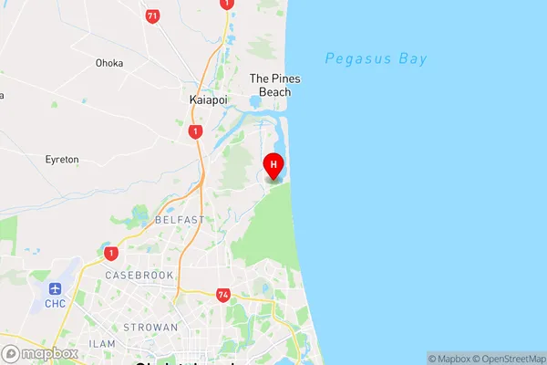
CanterburySpencerville Region Map
Coordinates
-43.4283948,172.7012451 (latitude/longitude)Distances
The distance from Spencerville, Christchurch, Christchurch City to NZ Top 10 Cities