Wharekopae Area, Wharekopae Postcode(4010) & Map in Wharekopae
Wharekopae Area, Wharekopae Postcode(4010) & Map in Wharekopae, Gisborne District, New Zealand
Wharekopae, Gisborne District, New Zealand
Wharekopae Postcodes
Wharekopae Area (estimated)
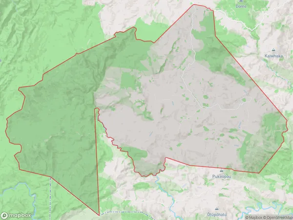
238.3 square kilometersWharekopae Population (estimated)
49 people live in Wharekopae, Gisborne, NZWharekopae Suburb Area Map (Polygon)
Wharekopae Introduction
Wharekopae is a small rural settlement in Gisborne, New Zealand. It is located on State Highway 2 and is about 12 km east of Gisborne city. The settlement has a population of around 100 people and is known for its scenic views and peaceful atmosphere. The area is popular with tourists and outdoor enthusiasts who enjoy hiking, cycling, and fishing in the nearby rivers and lakes.Region
0Suburb Name
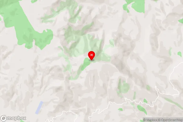
Wharekopae (Maori Name: Wharekōpae)Wharekopae Area Map (Street)
Local Authority
Gisborne DistrictFull Address
Wharekopae, Gisborne District, New ZealandAddress Type
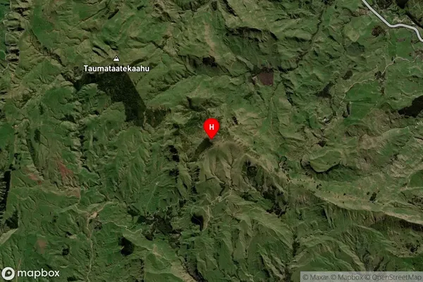
Locality in Major Locality WharekopaeWharekopae Suburb Map (Satellite)
Country
Main Region in AU
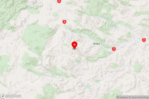
GisborneWharekopae Region Map
Coordinates
-38.475639,177.588306 (latitude/longitude)Distances
The distance from Wharekopae, Wharekopae, Gisborne District to NZ Top 10 Cities