Waipiro Area, Waipiro Postcode(4079) & Map in Waipiro
Waipiro Area, Waipiro Postcode(4079) & Map in Waipiro, Gisborne District, New Zealand
Waipiro, Gisborne District, New Zealand
Waipiro Postcodes
Waipiro Area (estimated)
154.0 square kilometersWaipiro Population (estimated)
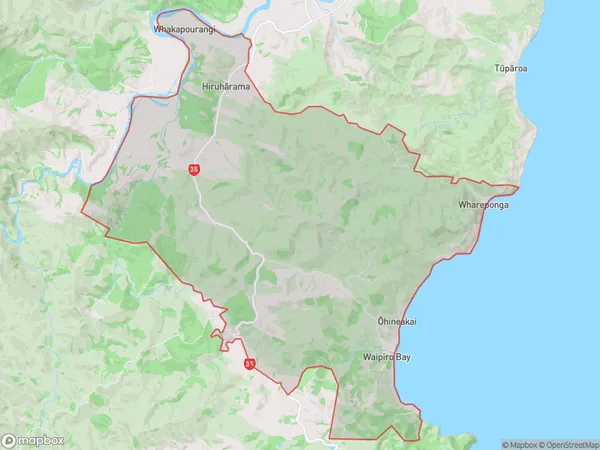
346 people live in Waipiro, Gisborne, NZWaipiro Suburb Area Map (Polygon)
Waipiro Introduction
Waipiro is a small rural community in the Gisborne region of New Zealand, known for its beautiful natural surroundings, including the Waipiro Bay and the Waipiro Forest. It is home to a population of around 100 people and is located on the banks of the Waipiro River. The community has a primary school, a post office, and a small supermarket. Waipiro is a popular destination for outdoor enthusiasts, with many hiking and cycling trails in the surrounding area. The community also hosts a annual music festival, which attracts visitors from around the region.Region
Major City
Suburb Name
WaipiroOther Name(s)
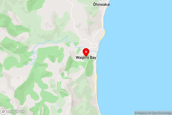
Aorangi, Hiruharama, Kopuaroa, Ohineakai, Whakapourangi, WharepongaWaipiro Area Map (Street)
Local Authority
Gisborne DistrictFull Address
Waipiro, Gisborne District, New ZealandAddress Type
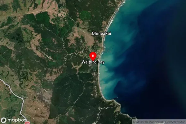
Locality in Town RuatoriaWaipiro Suburb Map (Satellite)
Country
Main Region in AU
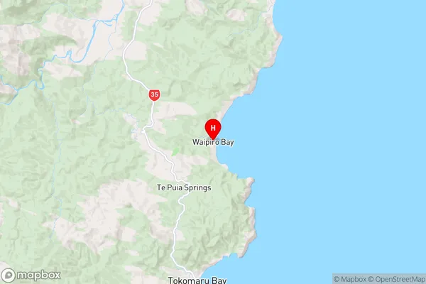
GisborneWaipiro Region Map
Coordinates
-38.0218472,178.3315089 (latitude/longitude)Distances
The distance from Waipiro, Ruatoria, Gisborne District to NZ Top 10 Cities