Waipaoa Area, Waipaoa Postcode(4010) & Map in Waipaoa
Waipaoa Area, Waipaoa Postcode(4010) & Map in Waipaoa, Gisborne District, New Zealand
Waipaoa, Gisborne District, New Zealand
Waipaoa Postcodes
Waipaoa Area (estimated)
61.9 square kilometersWaipaoa Population (estimated)
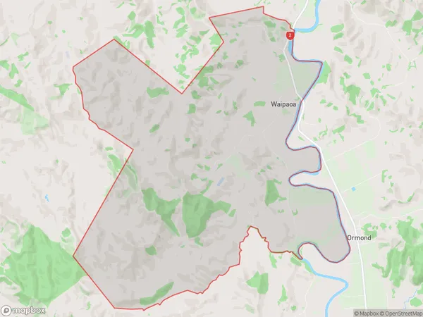
156 people live in Waipaoa, Gisborne, NZWaipaoa Suburb Area Map (Polygon)
Waipaoa Introduction
Waipaoa is a small rural town in the Gisborne region of New Zealand, known for its rich agricultural heritage and stunning natural surroundings. It is located on the banks of the Waipaoa River and is surrounded by lush farmland, picturesque forests, and stunning beaches. The town has a population of around 1,500 people and is home to a variety of businesses and services, including a supermarket, a hotel, and a golf course. Waipaoa is also a popular destination for outdoor enthusiasts, with numerous hiking and biking trails, fishing spots, and water sports facilities nearby.Region
Major City
Suburb Name
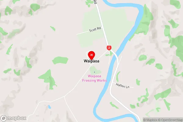
WaipaoaWaipaoa Area Map (Street)
Local Authority
Gisborne DistrictFull Address
Waipaoa, Gisborne District, New ZealandAddress Type
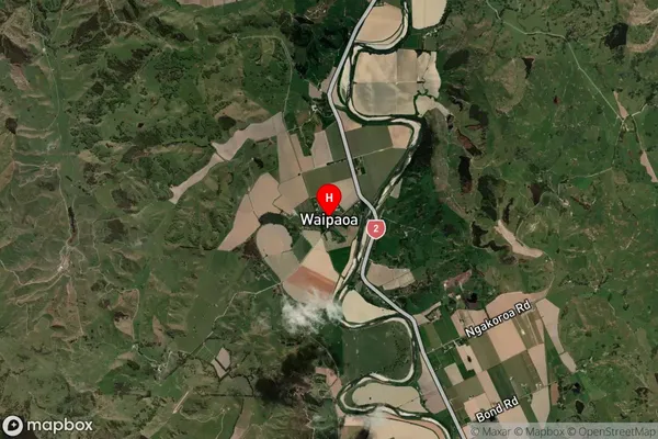
Locality in Town GisborneWaipaoa Suburb Map (Satellite)
Country
Main Region in AU
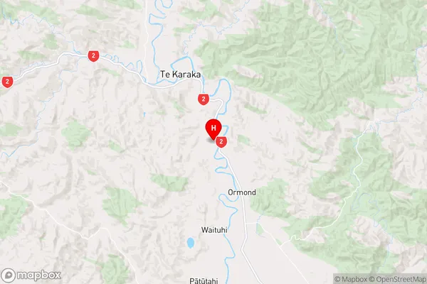
GisborneWaipaoa Region Map
Coordinates
-38.5202854,177.896204 (latitude/longitude)Distances
The distance from Waipaoa, Gisborne, Gisborne District to NZ Top 10 Cities