Waingake Area, Waingake Postcode(4010) & Map in Waingake
Waingake Area, Waingake Postcode(4010) & Map in Waingake, Gisborne District, New Zealand
Waingake, Gisborne District, New Zealand
Waingake Postcodes
Waingake Area (estimated)
328.7 square kilometersWaingake Population (estimated)
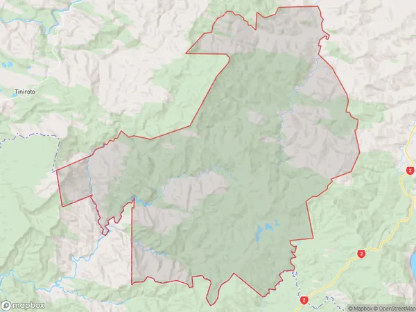
120 people live in Waingake, Gisborne, NZWaingake Suburb Area Map (Polygon)
Waingake Introduction
Waingake is a small rural community in the Gisborne region of New Zealand, located on the eastern coast of the North Island. It is known for its beautiful beaches, lush forests, and stunning natural scenery. The community has a population of around 500 people and is home to a variety of businesses, including a hotel, a restaurant, and a convenience store. Waingake is also a popular destination for outdoor enthusiasts, with many opportunities for hiking, cycling, and fishing.Region
Major City
Suburb Name
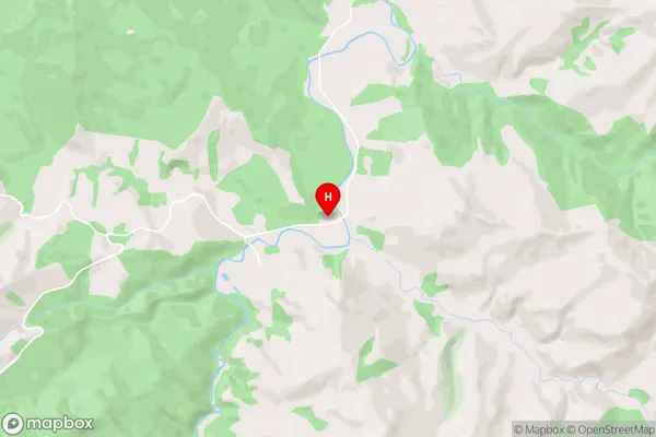
WaingakeWaingake Area Map (Street)
Local Authority
Gisborne DistrictFull Address
Waingake, Gisborne District, New ZealandAddress Type
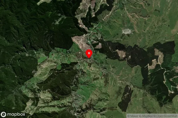
Locality in Town ManutukeWaingake Suburb Map (Satellite)
Country
Main Region in AU
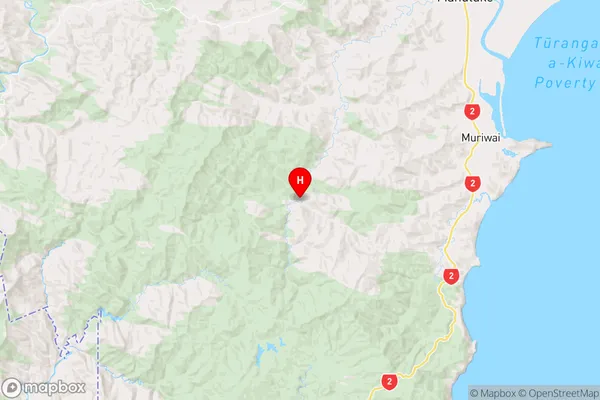
GisborneWaingake Region Map
Coordinates
-38.7864546,177.7990115 (latitude/longitude)Distances
The distance from Waingake, Manutuke, Gisborne District to NZ Top 10 Cities