Waikura Valley Area, Waikura Valley Postcode & Map in Waikura Valley
Waikura Valley Area, Waikura Valley Postcode & Map in Waikura Valley, Gisborne District,
Waikura Valley, Gisborne District,
Waikura Valley Area (estimated)
278.0 square kilometersWaikura Valley Population (estimated)
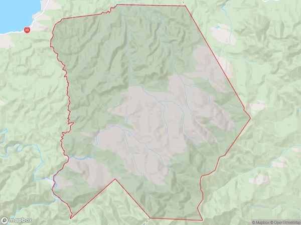
38 people live in Waikura Valley, , NZWaikura Valley Suburb Area Map (Polygon)
Waikura Valley Introduction
Waikura Valley is a small rural community located in the Waikura District of Southland, New Zealand. It is known for its stunning natural scenery, including waterfalls, forests, and rivers, and for its friendly community. The area is popular with outdoor enthusiasts and tourists, who enjoy hiking, mountain biking, and fishing in the nearby rivers and lakes. The Waikura Valley also has a rich cultural heritage, with several historic buildings and sites, including the Waikura Marae, a traditional Maori meeting house.00Suburb Name
Waikura ValleyWaikura Valley Area Map (Street)
Local Authority
Gisborne DistrictFull Address
Waikura Valley, Gisborne District,Address Type
Locality in Major Locality Waikura ValleyWaikura Valley Suburb Map (Satellite)
Country
Main Region in AU
Waikura Valley Region Map
Coordinates
0,0 (latitude/longitude)Distances
The distance from Waikura Valley, Waikura Valley, Gisborne District to NZ Top 10 Cities