Tahunga Area, Tahunga Postcode(4010) & Map in Tahunga
Tahunga Area, Tahunga Postcode(4010) & Map in Tahunga, Gisborne District, New Zealand
Tahunga, Gisborne District, New Zealand
Tahunga Postcodes
Tahunga Area (estimated)
172.7 square kilometersTahunga Population (estimated)
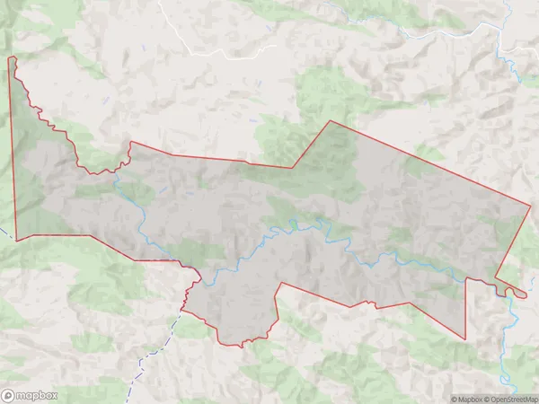
76 people live in Tahunga, Gisborne, NZTahunga Suburb Area Map (Polygon)
Tahunga Introduction
Tahunga, Pehiri, and Gisborne are three small settlements located in the Gisborne Region of New Zealand's North Island. Tahunga is situated on the eastern side of the Gisborne District, while Pehiri and Gisborne are on the western side. These settlements are known for their scenic surroundings, including rolling hills, lush forests, and picturesque rivers. The area is popular with outdoor enthusiasts and nature lovers, who enjoy activities such as hiking, cycling, and fishing.Region
Major City
Suburb Name
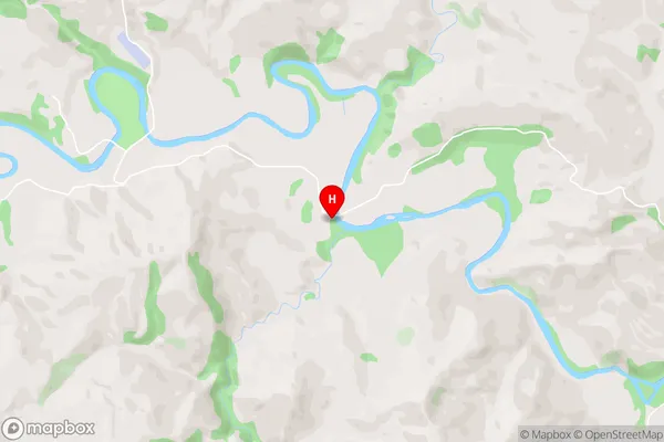
TahungaTahunga Area Map (Street)
Local Authority
Gisborne DistrictFull Address
Tahunga, Gisborne District, New ZealandAddress Type
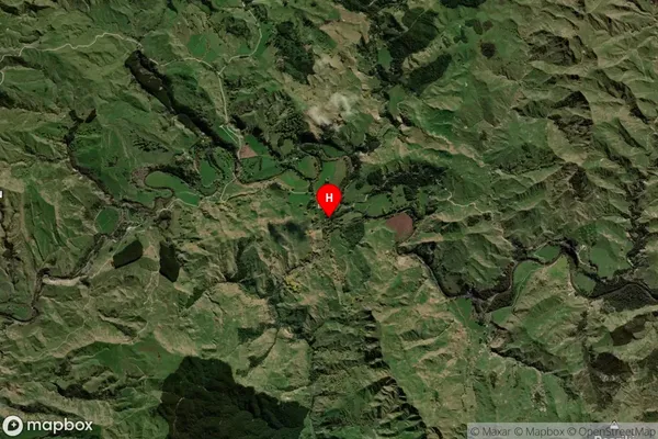
Locality in Major Locality PehiriTahunga Suburb Map (Satellite)
Country
Main Region in AU
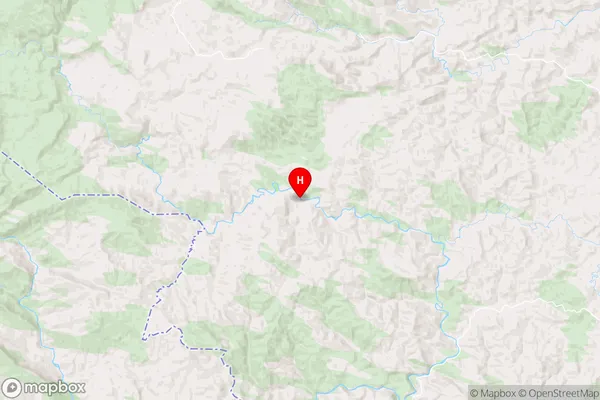
GisborneTahunga Region Map
Coordinates
-38.6246658,177.5169182 (latitude/longitude)Distances
The distance from Tahunga, Pehiri, Gisborne District to NZ Top 10 Cities