Pehiri Area, Pehiri Postcode(4072) & Map in Pehiri
Pehiri Area, Pehiri Postcode(4072) & Map in Pehiri, Gisborne District, New Zealand
Pehiri, Gisborne District, New Zealand
Pehiri Postcodes
Pehiri Area (estimated)
104.4 square kilometersPehiri Population (estimated)
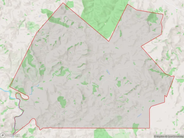
46 people live in Pehiri, Gisborne, NZPehiri Suburb Area Map (Polygon)
Pehiri Introduction
Pehiri, Pehiri, Gisborne, NZ, is a small rural town located in the Gisborne region of New Zealand's North Island. It is known for its beautiful beaches, lush forests, and vibrant cultural heritage. The town has a population of around 1,000 people and is surrounded by stunning natural scenery, including the Te Papa Tongarewa Forest Park and the Mahia Peninsula.Region
Major City
Suburb Name
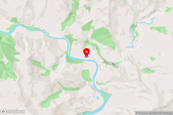
PehiriPehiri Area Map (Street)
Local Authority
Gisborne DistrictFull Address
Pehiri, Gisborne District, New ZealandAddress Type
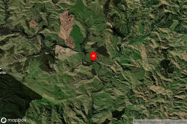
Locality in Major Locality PehiriPehiri Suburb Map (Satellite)
Country
Main Region in AU
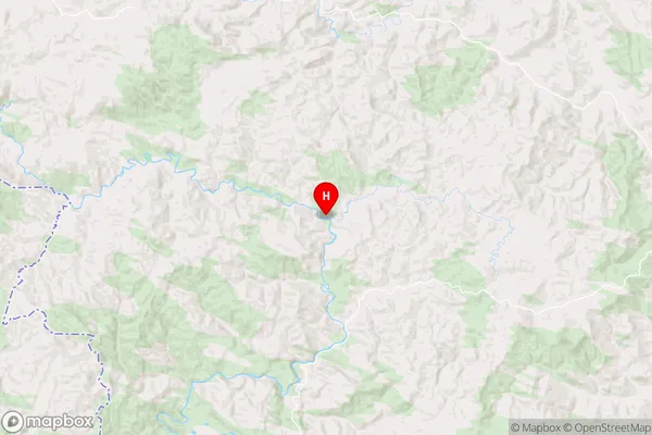
GisbornePehiri Region Map
Coordinates
-38.6471259,177.6129627 (latitude/longitude)Distances
The distance from Pehiri, Pehiri, Gisborne District to NZ Top 10 Cities