Bartletts Area, Bartletts Postcode & Map in Bartletts
Bartletts Area, Bartletts Postcode & Map in Bartletts, Gisborne District,
Bartletts, Gisborne District,
Bartletts Area (estimated)
140.8 square kilometersBartletts Population (estimated)
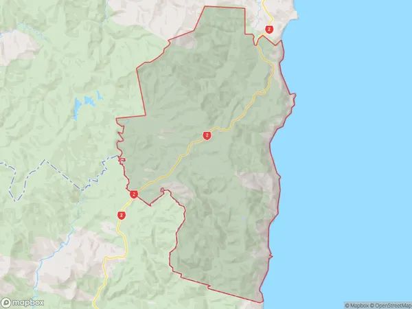
24 people live in Bartletts, Nuhaka, NZBartletts Suburb Area Map (Polygon)
Bartletts Introduction
Nuhaka, a small town in Hawke's Bay, New Zealand, is known for its historic Bartletts Farm, which has been converted into a museum and art gallery. The farm was established in the 1860s and is home to a collection of vintage vehicles, machinery, and agricultural artifacts. The museum also features exhibitions of local art and history, and hosts community events and workshops.Region
Major City
Suburb Name
BartlettsOther Name(s)
Otirangi, WharerataBartletts Area Map (Street)
Local Authority
Gisborne DistrictFull Address
Bartletts, Gisborne District,Address Type
Locality in Major Locality NuhakaBartletts Suburb Map (Satellite)
Country
Main Region in AU
Hawke's BayBartletts Region Map
Coordinates
0,0 (latitude/longitude)Distances
The distance from Bartletts, Nuhaka, Gisborne District to NZ Top 10 Cities