Waihirere Area, Waihirere Postcode(4071) & Map in Waihirere
Waihirere Area, Waihirere Postcode(4071) & Map in Waihirere, Gisborne District, New Zealand
Waihirere, Gisborne District, New Zealand
Waihirere Postcodes
Waihirere Area (estimated)
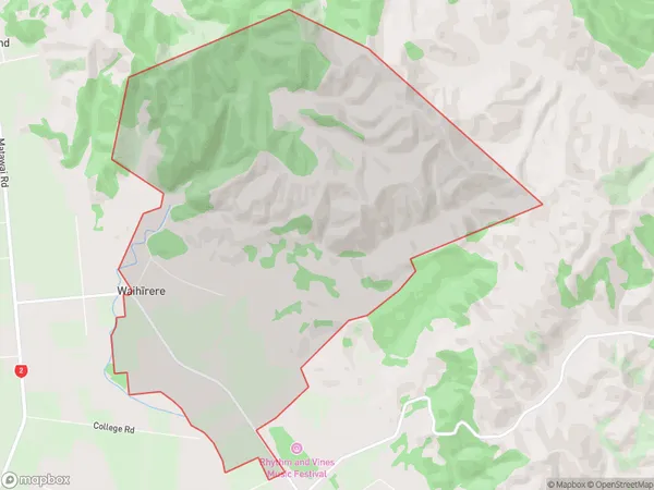
13.4 square kilometersWaihirere Population (estimated)
105 people live in Waihirere, Gisborne, NZWaihirere Suburb Area Map (Polygon)
Waihirere Introduction
Waihirere is a small rural community in Gisborne, New Zealand, known for its stunning natural surroundings, including the Waihirere Falls and the Waihirere Forest. It is located on the eastern side of the Gisborne District and is surrounded by farmland and native bush. The community has a strong sense of community and hosts regular events and festivals, including the Waihirere Festival of the Arts.Region
Major City
Suburb Name
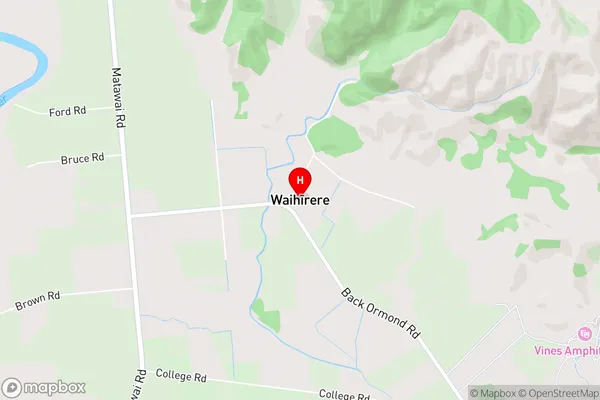
Waihirere (Maori Name: Waihīrere)Waihirere Area Map (Street)
Local Authority
Gisborne DistrictFull Address
Waihirere, Gisborne District, New ZealandAddress Type
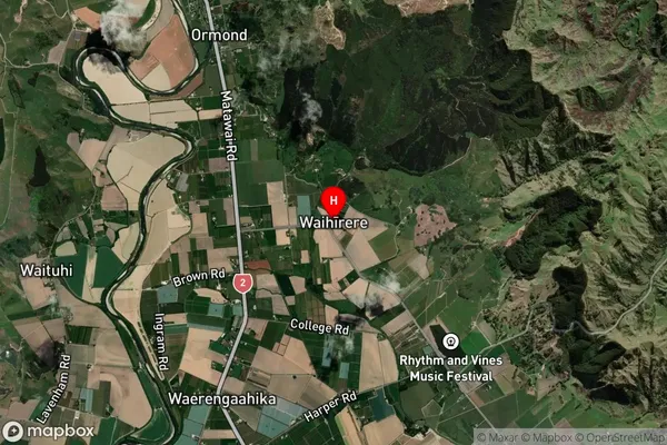
Suburb in Town GisborneWaihirere Suburb Map (Satellite)
Country
Main Region in AU
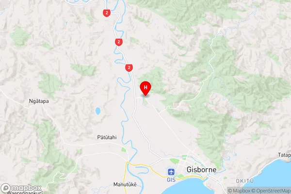
GisborneWaihirere Region Map
Coordinates
-38.5810331,177.9413939 (latitude/longitude)Distances
The distance from Waihirere, Gisborne, Gisborne District to NZ Top 10 Cities