Waerengaahika Area, Waerengaahika Postcode(4071) & Map in Waerengaahika
Waerengaahika Area, Waerengaahika Postcode(4071) & Map in Waerengaahika, Gisborne District, New Zealand
Waerengaahika, Gisborne District, New Zealand
Waerengaahika Postcodes
Waerengaahika Area (estimated)
21.4 square kilometersWaerengaahika Population (estimated)
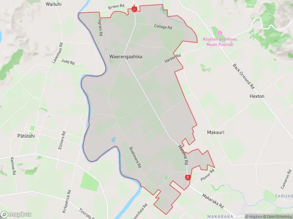
378 people live in Waerengaahika, Gisborne, NZWaerengaahika Suburb Area Map (Polygon)
Waerengaahika Introduction
Waerengaahika is a small rural community located in the Gisborne region of New Zealand. It is known for its beautiful natural surroundings, including lush forests, rivers, and beaches. The community has a strong Maori heritage and is home to a number of historic sites, including the Waerengaahika Marae. Waerengaahika is a popular destination for outdoor enthusiasts, with many opportunities for hiking, fishing, and kayaking. The community also has a primary school and a small supermarket.Region
Major City
Suburb Name
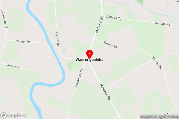
WaerengaahikaWaerengaahika Area Map (Street)
Local Authority
Gisborne DistrictFull Address
Waerengaahika, Gisborne District, New ZealandAddress Type
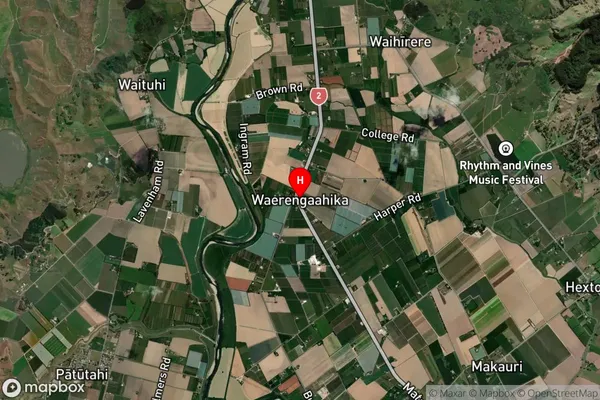
Suburb in Town GisborneWaerengaahika Suburb Map (Satellite)
Country
Main Region in AU
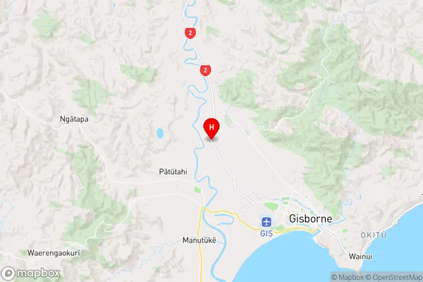
GisborneWaerengaahika Region Map
Coordinates
-38.6022826,177.9241848 (latitude/longitude)Distances
The distance from Waerengaahika, Gisborne, Gisborne District to NZ Top 10 Cities