Matipo Heights Area, Matipo Heights Postcode(3015) & Map in Matipo Heights
Matipo Heights Area, Matipo Heights Postcode(3015) & Map in Matipo Heights, Rotorua District, New Zealand
Matipo Heights, Rotorua District, New Zealand
Matipo Heights Postcodes
Matipo Heights Area (estimated)
4.0 square kilometersMatipo Heights Population (estimated)
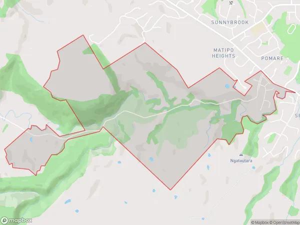
286 people live in Matipo Heights, Rotorua, NZMatipo Heights Suburb Area Map (Polygon)
Region
Major City
Suburb Name
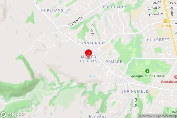
Matipo HeightsMatipo Heights Area Map (Street)
Local Authority
Rotorua DistrictFull Address
Matipo Heights, Rotorua District, New ZealandAddress Type
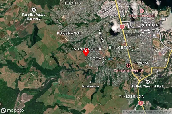
Suburb in City RotoruaMatipo Heights Suburb Map (Satellite)
Country
Main Region in AU
Bay of PlentyMatipo Heights Region Map

Coordinates
-38.1535706,176.2144682 (latitude/longitude)Distances
The distance from Matipo Heights, Rotorua, Rotorua District to NZ Top 10 Cities