Pomare Area, Pomare Postcode(3015) & Map in Pomare
Pomare Area, Pomare Postcode(3015) & Map in Pomare, Rotorua District, New Zealand
Pomare, Rotorua District, New Zealand
Pomare Postcodes
Pomare Area (estimated)
1.4 square kilometersPomare Population (estimated)
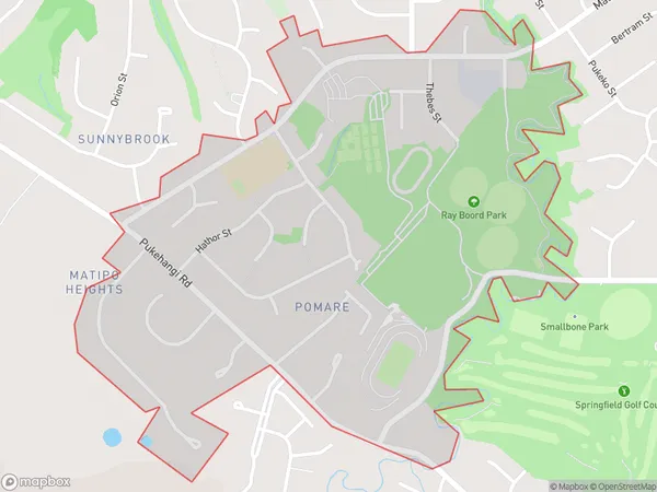
1876 people live in Pomare, Rotorua, NZPomare Suburb Area Map (Polygon)
Pomare Introduction
Pomare is a small town in the Bay of Plenty region of New Zealand. It is known for its hot springs and Maori culture. The town has a population of around 1,000 people and is located on the banks of the Pomare River. The area was first settled by Maori tribes over 1,000 years ago, and the town has a strong cultural heritage. Visitors can enjoy soaking in the hot springs, visiting the local museum, or taking part in cultural experiences such as a traditional Maori haka performance.Region
Major City
Suburb Name
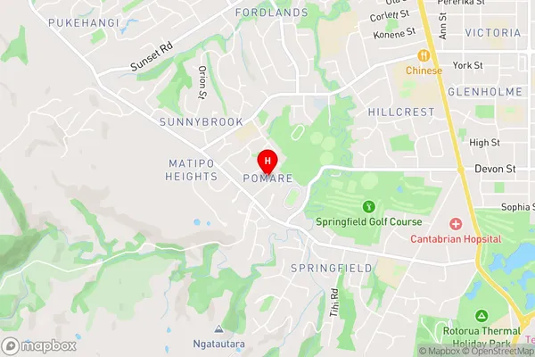
PomarePomare Area Map (Street)
Local Authority
Rotorua DistrictFull Address
Pomare, Rotorua District, New ZealandAddress Type
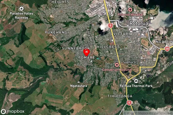
Suburb in City RotoruaPomare Suburb Map (Satellite)
Country
Main Region in AU
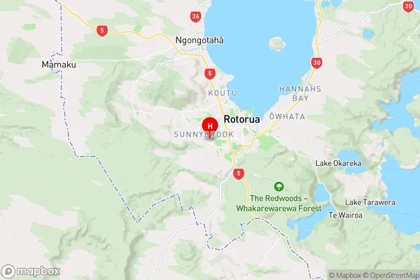
Bay of PlentyPomare Region Map
Coordinates
-38.154198,176.22183 (latitude/longitude)Distances
The distance from Pomare, Rotorua, Rotorua District to NZ Top 10 Cities