Stonefields Area, Stonefields Postcode(1072) & Map in Stonefields
Stonefields Area, Stonefields Postcode(1072) & Map in Stonefields, Auckland, New Zealand
Stonefields, Auckland, New Zealand
Stonefields Postcodes
Stonefields Area (estimated)
1.2 square kilometersStonefields Population (estimated)
4080 people live in Stonefields, Ōrākei, NZStonefields Suburb Area Map (Polygon)
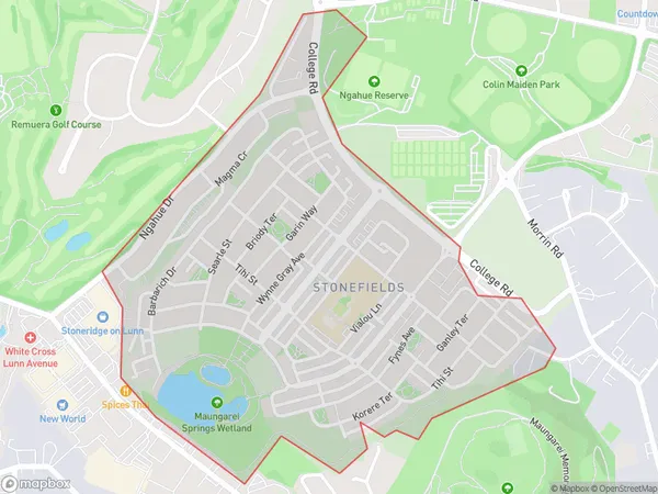
Stonefields Introduction
Stonefields is a suburb of Auckland, New Zealand, located in the Eastern Suburbs. It is known for its large population of Pacific Islanders and has a variety of shops, restaurants, and recreational facilities. The area is also home to a large number of historic buildings and monuments, including the Stonefields Shopping Centre and the Stonefields War Memorial.Region
Major City
Suburb Name
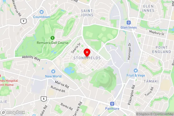
StonefieldsStonefields Area Map (Street)
Local Authority
AucklandFull Address
Stonefields, Auckland, New ZealandAddress Type
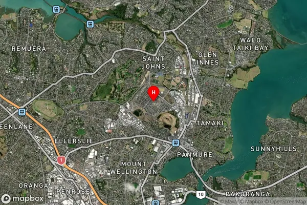
Suburb in City AucklandStonefields Suburb Map (Satellite)
Country
Main Region in AU
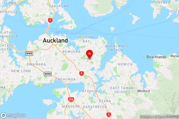
AucklandStonefields Region Map
Coordinates
-36.8872621,174.8418203 (latitude/longitude)Distances
The distance from Stonefields, Auckland, Auckland to NZ Top 10 Cities