Huapai Area, Huapai Postcode(0810) & Map in Huapai
Huapai Area, Huapai Postcode(0810) & Map in Huapai, Auckland, New Zealand
Huapai, Auckland, New Zealand
Huapai Area (estimated)
3.0 square kilometersHuapai Population (estimated)
3029 people live in Huapai, Rodney, NZHuapai Suburb Area Map (Polygon)
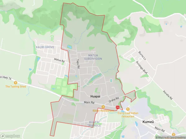
Huapai Introduction
Huapai is a rural community in the Kumeu region of Auckland, New Zealand. It is known for its picturesque rural setting, with rolling hills, farms, and scenic views of the surrounding countryside. The community has a population of around 2,000 people and is located about 45 minutes northwest of Auckland City. Huapai is a popular destination for outdoor activities such as hiking, cycling, and fishing, with several walking and cycling trails nearby. The area also has a number of historic buildings, including the Huapai Domain, a historic homestead and gardens.Region
Major City
Suburb Name
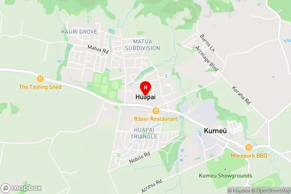
HuapaiHuapai Area Map (Street)
Local Authority
AucklandFull Address
Huapai, Auckland, New ZealandAddress Type
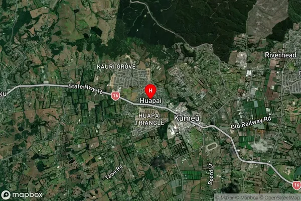
Suburb in Town KumeuHuapai Suburb Map (Satellite)
Country
Main Region in AU
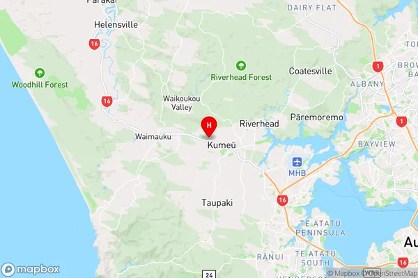
AucklandHuapai Region Map
Coordinates
-36.7705274,174.5423206 (latitude/longitude)Distances
The distance from Huapai, Kumeu, Auckland to NZ Top 10 Cities