Pancake Rocks Area, Pancake Rocks Postcode & Map in Pancake Rocks
Pancake Rocks Area, Pancake Rocks Postcode & Map in Pancake Rocks, Buller District, New Zealand
Pancake Rocks, Buller District, New Zealand
Pancake Rocks Area (estimated)
0.1 square kilometersPancake Rocks Population (estimated)
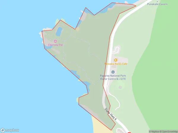
0 people live in Pancake Rocks, Northland, NZPancake Rocks Suburb Area Map (Polygon)
Pancake Rocks Introduction
Pancake Rocks, located in Paparoa National Park in Northland, New Zealand, is a collection of limestone formations that resemble stacks of pancakes. The rocks have been eroded by wind and water into these unique shapes, which are a popular tourist attraction. Visitors can walk along the boardwalks and viewpoints to get a closer look at the formations and enjoy the stunning coastal scenery.Region
0Suburb Name
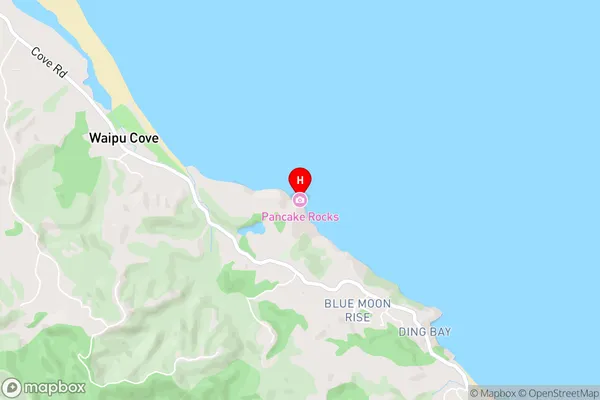
Pancake RocksPancake Rocks Area Map (Street)
Local Authority
Buller DistrictFull Address
Pancake Rocks, Buller District, New ZealandAddress Type
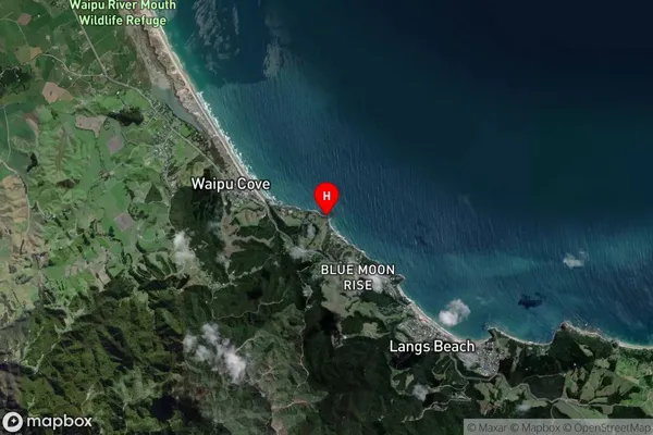
Conservation Land in Major Locality Paparoa National ParkPancake Rocks Suburb Map (Satellite)
Country
Main Region in AU
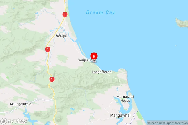
NorthlandPancake Rocks Region Map
Coordinates
-36.0319943,174.5182773 (latitude/longitude)Distances
The distance from Pancake Rocks, Paparoa National Park, Buller District to NZ Top 10 Cities