Te Miko Area, Te Miko Postcode(7804) & Map in Te Miko
Te Miko Area, Te Miko Postcode(7804) & Map in Te Miko, Buller District, New Zealand
Te Miko, Buller District, New Zealand
Te Miko Postcodes
Te Miko Area (estimated)
1.8 square kilometersTe Miko Population (estimated)
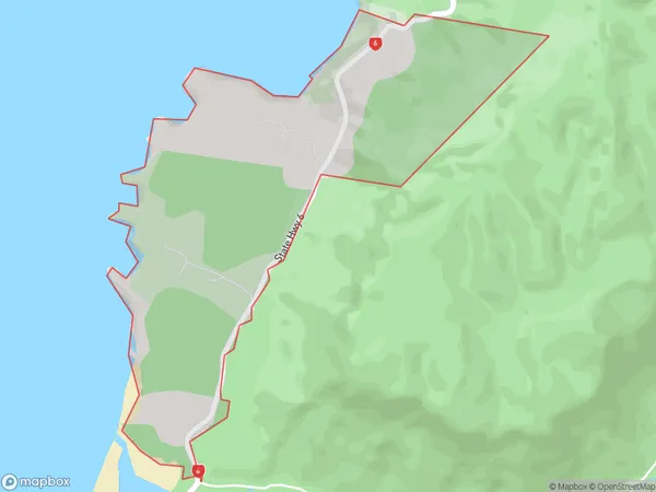
24 people live in Te Miko, West Coast, NZTe Miko Suburb Area Map (Polygon)
Te Miko Introduction
Te Miko is a small, uninhabited rock island off the coast of Punakaiki, West Coast, New Zealand. It is known for its unique geological features, including the " Pancake Rocks," which are stacks of spherical boulders formed by volcanic activity. The island is a popular tourist destination and is part of the Paparoa National Park.Region
0Suburb Name
Te MikoOther Name(s)
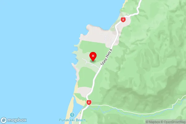
Paparoa National Park, PororariTe Miko Area Map (Street)
Local Authority
Buller DistrictFull Address
Te Miko, Buller District, New ZealandAddress Type
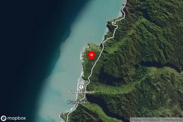
Locality in Major Locality PunakaikiTe Miko Suburb Map (Satellite)
Country
Main Region in AU
West CoastTe Miko Region Map

Coordinates
-42.0913286,171.3433156 (latitude/longitude)Distances
The distance from Te Miko, Punakaiki, Buller District to NZ Top 10 Cities