Takapuwahia Area, Takapuwahia Postcode(5022) & Map in Takapuwahia
Takapuwahia Area, Takapuwahia Postcode(5022) & Map in Takapuwahia, Porirua City, New Zealand
Takapuwahia, Porirua City, New Zealand
Takapuwahia Postcodes
Takapuwahia Area (estimated)
2.5 square kilometersTakapuwahia Population (estimated)
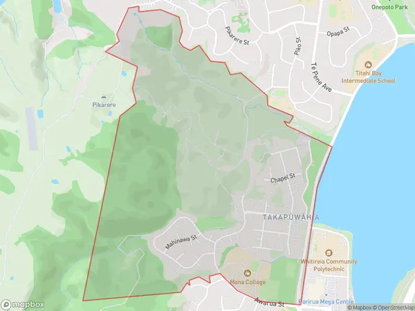
1633 people live in Takapuwahia, Porirua, NZTakapuwahia Suburb Area Map (Polygon)
Takapuwahia Introduction
Takapuwahia is a small suburb in Porirua, Wellington, New Zealand. It is known for its beautiful natural surroundings, including the Takapuwahia Reserve and the Waikanae River. The suburb has a strong Maori cultural heritage and is home to a number of important historical sites. It is also a popular destination for outdoor activities such as hiking, cycling, and fishing.Region
Major City
Suburb Name
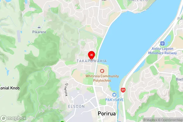
Takapuwahia (Maori Name: Takapūwāhia)Takapuwahia Area Map (Street)
Local Authority
Porirua CityFull Address
Takapuwahia, Porirua City, New ZealandAddress Type
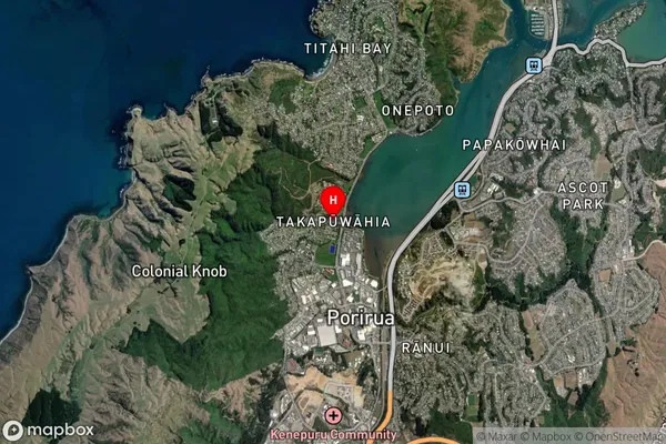
Suburb in City PoriruaTakapuwahia Suburb Map (Satellite)
Country
Main Region in AU
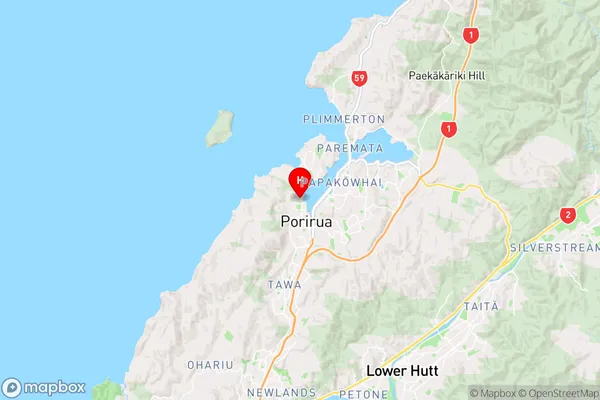
WellingtonTakapuwahia Region Map
Coordinates
-41.1242816,174.8355202 (latitude/longitude)Distances
The distance from Takapuwahia, Porirua, Porirua City to NZ Top 10 Cities