Sunnyhills Area, Sunnyhills Postcode(2010) & Map in Sunnyhills
Sunnyhills Area, Sunnyhills Postcode(2010) & Map in Sunnyhills, Auckland, New Zealand
Sunnyhills, Auckland, New Zealand
Sunnyhills Postcodes
Sunnyhills Area (estimated)
1.8 square kilometersSunnyhills Population (estimated)
5031 people live in Sunnyhills, Howick, NZSunnyhills Suburb Area Map (Polygon)
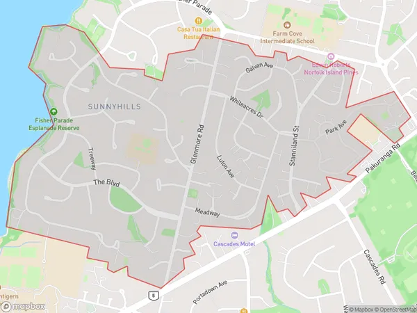
Sunnyhills Introduction
Sunnyhills is a suburb in Auckland, New Zealand, with a population of around 20,000 people. It is known for its large population of Indian and Asian immigrants and for its vibrant cultural scene. The suburb has a number of popular restaurants, grocery stores, and cultural institutions, including a Hindu temple and a Sikh gurdwara. Sunnyhills is also home to a large number of medical and dental clinics, as well as a shopping center and a library.Region
Major City
Suburb Name
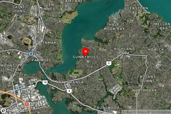
SunnyhillsSunnyhills Area Map (Street)

Local Authority
AucklandFull Address
Sunnyhills, Auckland, New ZealandAddress Type
Suburb in City AucklandSunnyhills Suburb Map (Satellite)
Country
Main Region in AU
AucklandSunnyhills Region Map
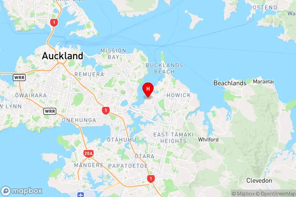
Coordinates
-36.8996897,174.8821005 (latitude/longitude)Distances
The distance from Sunnyhills, Auckland, Auckland to NZ Top 10 Cities