Riverton/Aparima Area, Riverton/Aparima Postcode(9822) & Map in Riverton/Aparima
Riverton/Aparima Area, Riverton/Aparima Postcode(9822) & Map in Riverton/Aparima, Southland District, New Zealand
Riverton/Aparima, Southland District, New Zealand
Riverton/Aparima Postcodes
Riverton/Aparima Area (estimated)
21.9 square kilometersRiverton/Aparima Population (estimated)
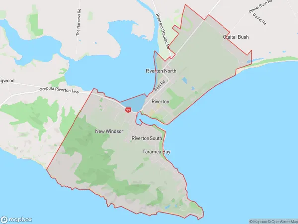
1701 people live in Riverton/Aparima, Southland, NZRiverton/Aparima Suburb Area Map (Polygon)
Riverton/Aparima Introduction
Riverton/Aparima is a small town in Southland, New Zealand, with a population of around 1,000 people. It is located on the banks of the Aparima River and is known for its scenic surroundings, including the Aparima Gorge and the Aparima Desert. The town is a popular destination for outdoor activities such as hiking, fishing, and hunting, and is also home to a number of historic buildings and landmarks.Region
0Suburb Name
Riverton/AparimaOther Name(s)
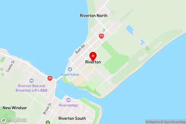
Aparima, New Windsor, Riverton, The RocksRiverton/Aparima Area Map (Street)
Local Authority
Southland DistrictFull Address
Riverton/Aparima, Southland District, New ZealandAddress Type
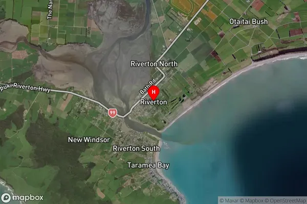
Suburb in Town Riverton/AparimaRiverton/Aparima Suburb Map (Satellite)
Country
Main Region in AU
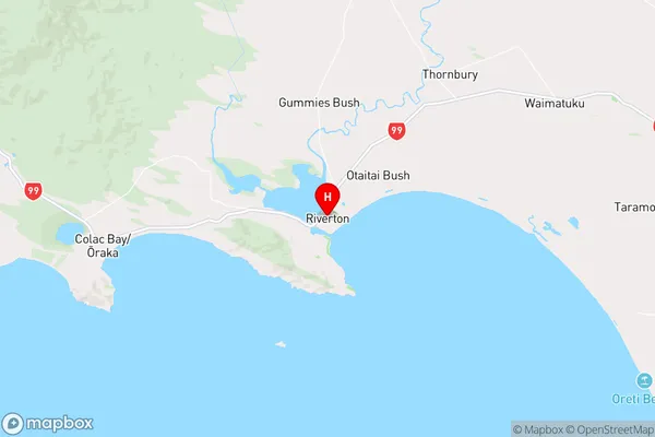
SouthlandRiverton/Aparima Region Map
Coordinates
-46.3509977,168.0202689 (latitude/longitude)Distances
The distance from Riverton/Aparima, Riverton/Aparima, Southland District to NZ Top 10 Cities