Mataura Island Area, Mataura Island Postcode & Map in Mataura Island
Mataura Island Area, Mataura Island Postcode & Map in Mataura Island, Southland District, New Zealand
Mataura Island, Southland District, New Zealand
Mataura Island Area (estimated)
59.8 square kilometersMataura Island Population (estimated)
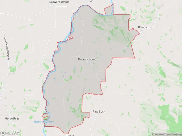
112 people live in Mataura Island, Waihopai Toetoe Community, NZMataura Island Suburb Area Map (Polygon)
Mataura Island Introduction
Mataura Island is located in the southernmost part of New Zealand's Southland region. It is a popular tourist destination known for its stunning natural beauty, including beaches, forests, and a variety of wildlife. The island is also home to a large number of historic buildings and sites, including a former prison and a lighthouse. Mataura Island is accessible by ferry from Wyndham, and it offers a range of activities for visitors, including hiking, fishing, and birdwatching.Region
Major City
Suburb Name
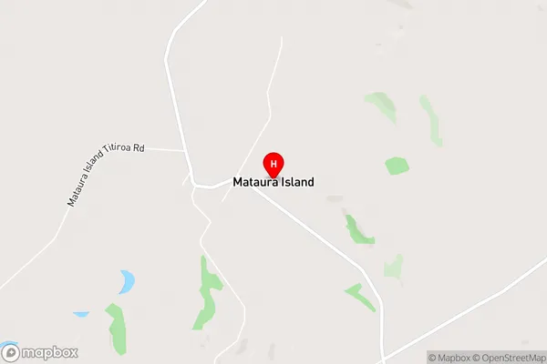
Mataura IslandMataura Island Area Map (Street)
Local Authority
Southland DistrictFull Address
Mataura Island, Southland District, New ZealandAddress Type
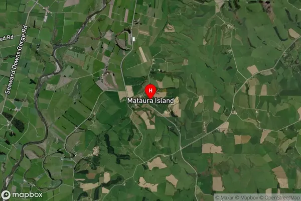
Locality in Town WyndhamMataura Island Suburb Map (Satellite)
Country
Main Region in AU
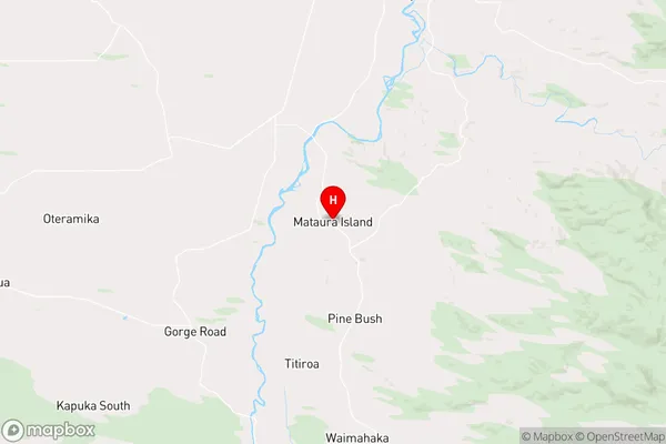
SouthlandMataura Island Region Map
Coordinates
-46.42704,168.78822 (latitude/longitude)Distances
The distance from Mataura Island, Wyndham, Southland District to NZ Top 10 Cities