Huntsbury Area, Huntsbury Postcode(8011) & Map in Huntsbury
Huntsbury Area, Huntsbury Postcode(8011) & Map in Huntsbury, Christchurch City, New Zealand
Huntsbury, Christchurch City, New Zealand
Huntsbury Postcodes
Huntsbury Area (estimated)
2.0 square kilometersHuntsbury Population (estimated)
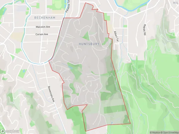
2328 people live in Huntsbury, Spreydon-Cashmere Community, NZHuntsbury Suburb Area Map (Polygon)
Huntsbury Introduction
Huntsbury is a suburb of Christchurch, New Zealand, located in the eastern suburbs of the city. It is known for its historic homes and gardens, as well as its proximity to the Christchurch Botanic Gardens and the Avon River. The suburb was named after William Hunt, a prominent early settler who arrived in Christchurch in 1850.Region
Major City
Suburb Name
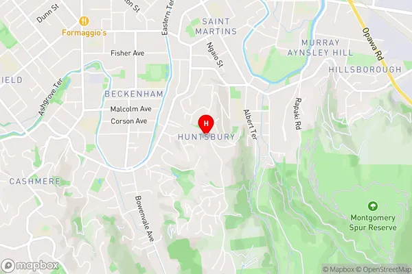
HuntsburyHuntsbury Area Map (Street)
Local Authority
Christchurch CityFull Address
Huntsbury, Christchurch City, New ZealandAddress Type
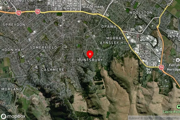
Suburb in City ChristchurchHuntsbury Suburb Map (Satellite)
Country
Main Region in AU
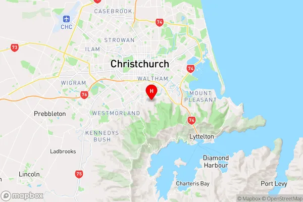
CanterburyHuntsbury Region Map
Coordinates
-43.5675678,172.652408 (latitude/longitude)Distances
The distance from Huntsbury, Christchurch, Christchurch City to NZ Top 10 Cities