Allandale Area, Allandale Postcode(8971) & Map in Allandale
Allandale Area, Allandale Postcode(8971) & Map in Allandale, Christchurch City, New Zealand
Allandale, Christchurch City, New Zealand
Allandale Postcodes
Allandale Area (estimated)
7.4 square kilometersAllandale Population (estimated)
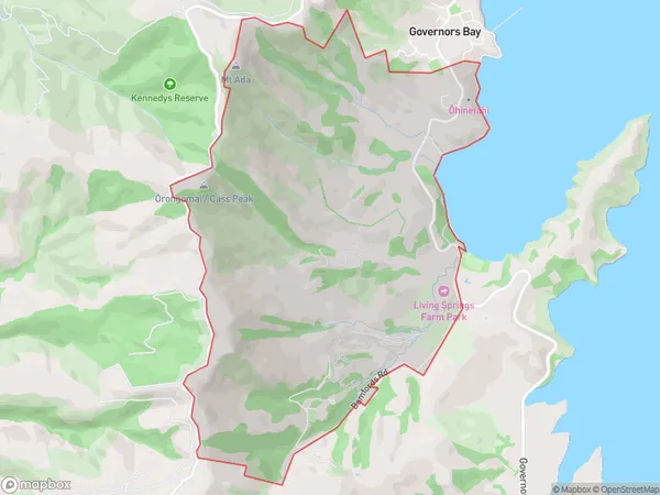
174 people live in Allandale, Banks Peninsula Community, NZAllandale Suburb Area Map (Polygon)
Allandale Introduction
Allandale is a residential suburb of Christchurch, New Zealand. It is located in the Governors Bay area, 7 km from the city center. The suburb has a mix of residential and commercial properties, with a variety of shops, restaurants, and parks. Allandale is known for its peaceful atmosphere and scenic surroundings, with the Avon River running through it. The area has a strong community spirit, with many events and activities held throughout the year.Region
Major City
Suburb Name
AllandaleOther Name(s)
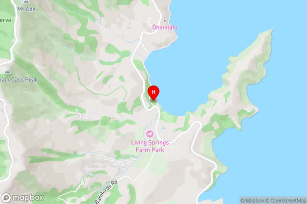
Lyttelton Harbour, OhinetahiAllandale Area Map (Street)
Local Authority
Christchurch CityFull Address
Allandale, Christchurch City, New ZealandAddress Type
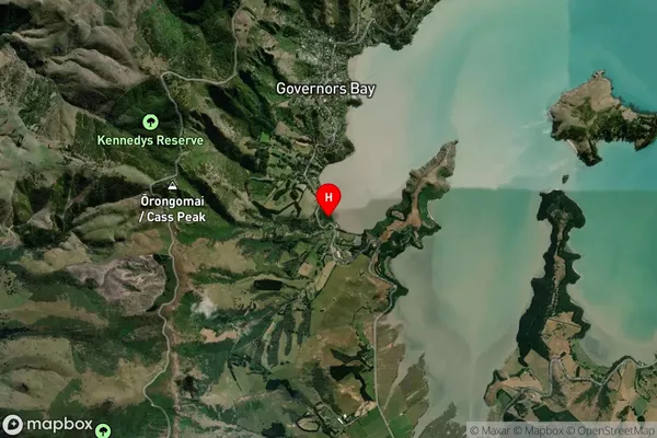
Locality in Town Governors BayAllandale Suburb Map (Satellite)
Country
Main Region in AU
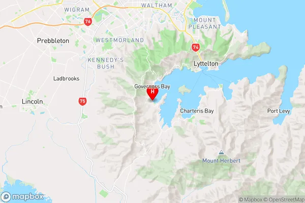
CanterburyAllandale Region Map
Coordinates
-43.6396613,172.6484882 (latitude/longitude)Distances
The distance from Allandale, Governors Bay, Christchurch City to NZ Top 10 Cities