Totara Vale Area, Totara Vale Postcode(0629) & Map in Totara Vale
Totara Vale Area, Totara Vale Postcode(0629) & Map in Totara Vale, Auckland, New Zealand
Totara Vale, Auckland, New Zealand
Totara Vale Postcodes
Totara Vale Area (estimated)
2.0 square kilometersTotara Vale Population (estimated)
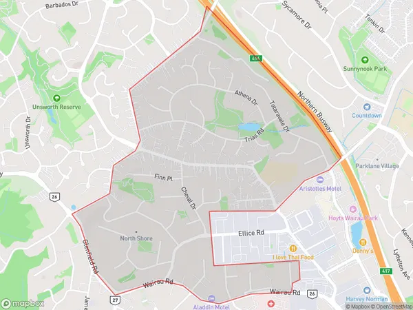
6666 people live in Totara Vale, Kaipātiki, NZTotara Vale Suburb Area Map (Polygon)
Totara Vale Introduction
Totara Vale is a suburban area in Auckland, New Zealand. It is located in the Waitakere Ranges and is known for its lush greenery, scenic views, and peaceful atmosphere. The area has a variety of housing options, including single-family homes, apartments, and townhouses. Totara Vale is well-connected to other parts of Auckland via public transportation, and it is also close to several recreational facilities, including parks, golf courses, and walking trails.Region
Major City
Suburb Name
Totara Vale (Maori Name: Tōtara Vale)Other Name(s)
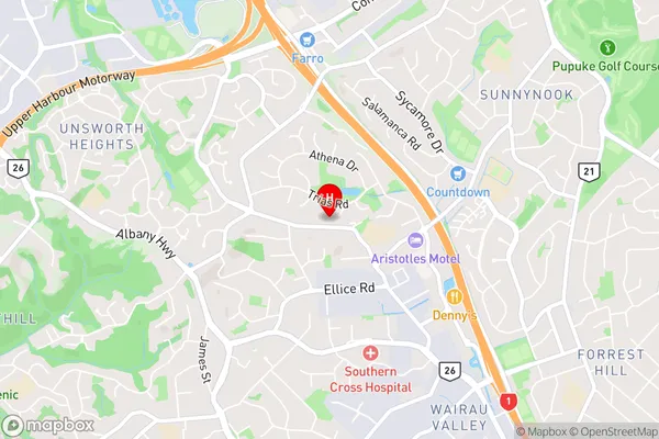
Meadowood, The PalmsTotara Vale Area Map (Street)
Local Authority
AucklandFull Address
Totara Vale, Auckland, New ZealandAddress Type
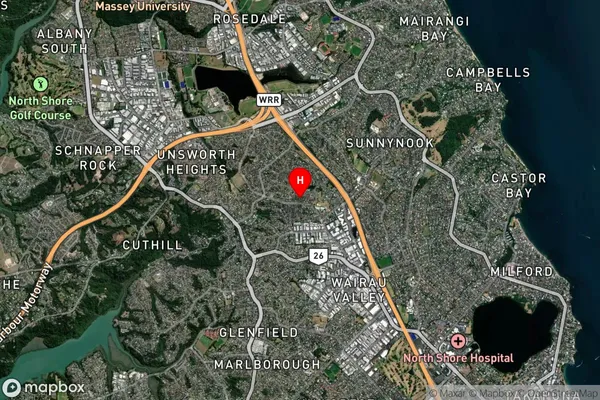
Suburb in City AucklandTotara Vale Suburb Map (Satellite)
Country
Main Region in AU
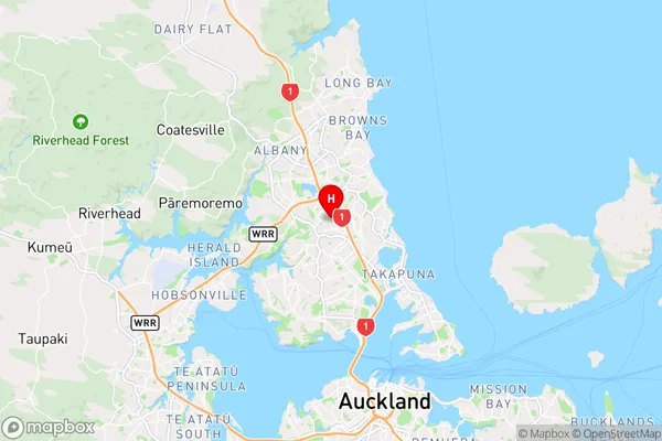
AucklandTotara Vale Region Map
Coordinates
-36.7619785,174.72969 (latitude/longitude)Distances
The distance from Totara Vale, Auckland, Auckland to NZ Top 10 Cities