Lucas Heights Area, Lucas Heights Postcode(0793) & Map in Lucas Heights
Lucas Heights Area, Lucas Heights Postcode(0793) & Map in Lucas Heights, Auckland, New Zealand
Lucas Heights, Auckland, New Zealand
Lucas Heights Postcodes
Lucas Heights Area (estimated)
8.0 square kilometersLucas Heights Population (estimated)
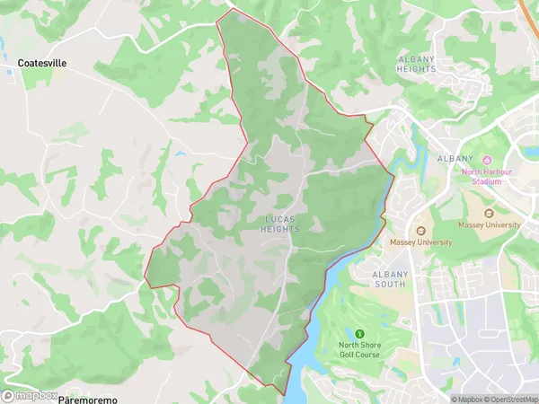
1017 people live in Lucas Heights, Upper Harbour, NZLucas Heights Suburb Area Map (Polygon)
Lucas Heights Introduction
Lucas Heights is a suburb in Auckland, New Zealand, with a rich cultural heritage and a diverse population. It is known for its beautiful parks, well-maintained homes, and convenient location, with easy access to the city center and surrounding areas. The suburb has a strong sense of community and is home to many families and young professionals.Region
Major City
Suburb Name
Lucas HeightsOther Name(s)
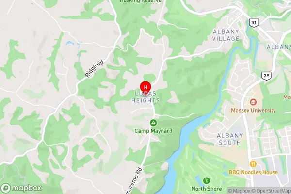
Albany North, Albany VillageLucas Heights Area Map (Street)
Local Authority
AucklandFull Address
Lucas Heights, Auckland, New ZealandAddress Type
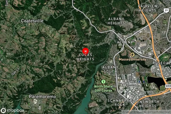
Suburb in City AucklandLucas Heights Suburb Map (Satellite)
Country
Main Region in AU
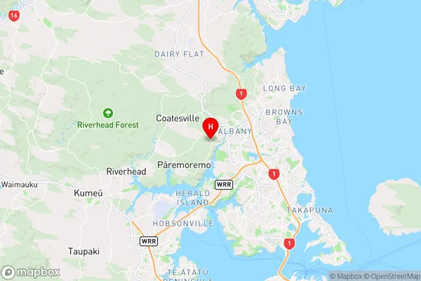
AucklandLucas Heights Region Map
Coordinates
-36.7341757,174.674349 (latitude/longitude)Distances
The distance from Lucas Heights, Auckland, Auckland to NZ Top 10 Cities